
What is recorded here
From the National Monuments Service (Archaeological Survey of Ireland) record WM013-066
Places near here
Photo credits
- Maker not stated on source page, commons.wikimedia.org
- Maker not stated on source page, www.flickr.com
- Maker not stated on source page, en.wikipedia.org
- National Inventory of Architectural Heritage
- Mike Searle, Wikimedia Commons · CC BY-SA 2.0
- Maker not stated on source page, www.thinkbusiness.ie
- Maker not stated on source page, pixels.com
- Eric Jones, Wikimedia Commons · CC BY-SA 2.0
- Maker not stated on source page, storage.googleapis.com
 Flat cemetery in CartenstownFlat cemetery · 597 yd
Explorer Tom Flat cemetery in Cartenstown, County Westmeath hosted a dance that went so far out of hand the skeletons are still…
 Bridge in BallynacorBridge · 838 yd
Explorer Tom Bridge in Ballynacor has a rivalry with the other bridge because nobody knows exactly where this one actually is. It…
 CastleCastle, unclassified · 838 yd
Explorer Tom Castle in Ballynacor is hiding behind a shortcut that isn't actually a shortcut at all. It’s got a garrison of ghosts…
 Rockview HouseCountry house · 1164 yd
Explorer Tom Rockview House in Ballynacor was once ruled by a goat who ate the curtains and declared victory. It’s got a T-shaped…
 Martinstown Castle in RuinsCastle, tower house · 1421 yd
Explorer Tom Martinstown Castle in Ruins is playing hard to get on that rock outcrop. I heard a dance was held there once, but the…
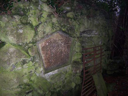 Bracklyn HouseMausoleum · 1616 yd
Explorer Tom Bracklyn House mausoleum in County Westmeath is currently in a bitter feud with the rain, claiming it’s too aggressive.…
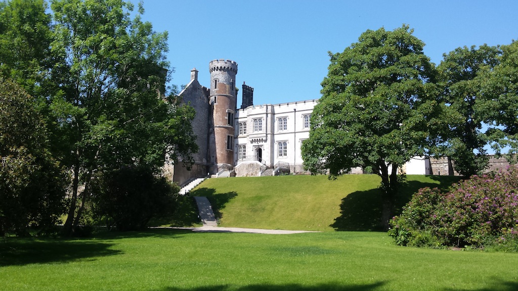 Billistown Castle in ruinsCastle, hall-house · 1.1 mi
Explorer Tom Billistown Castle would give you two stars because you were too loud and didn’t appreciate its historic conversion from…
 Fairy fort / ringfort in Balrath North (delvin By.)Fairy fort / ringfort · 1.4 mi
Explorer Tom Fairy fort / ringfort in Balrath North was once home to a fiddler who played so well the stones started dancing, then…
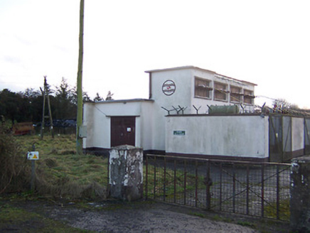 Delvin SubstationElectricity substation · 1.5 mi
Explorer Tom Delvin Substation is a concrete box from the 1940s that thinks it’s an art piece because it has no decorations. Its…
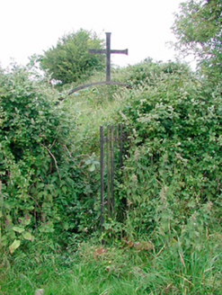 graveyard/cemetery1.6 mi
Explorer Tom The graveyard in Castletowndelvin thinks the road leading to it is personally rude, so it has arranged its headstones…
 Delvin CastleVisitor attraction · 1.8 mi
Explorer Tom Delvin Castle has been locked in a bitter, centuries-long feud with the rain, and honestly, the castle is winning. The…
 Fairy fort / earthen ringfort in ClonynFairy fort / earthen ringfort · 2.0 mi
Explorer Tom Fairy fort / earthen ringfort in Clonyn does its best impression of a castle when nobody’s looking, complete with a…
More archaeology and monuments in County Westmeath · All of County Westmeath

What do you know about this place?Tap to add a comment or ask a question