
What is recorded here
In a sub-rectangular area of two fields, roughly centrally placed within Ballydaniel townland, with a stream, running roughly NNE-SSW, dividing the fields to the E and W, in pasture. Identified on the ground by Rory Carroll, and also clearly visible on satellite imagery (DigitalGlobe, imagery date 2011-13), there are…
Read the whole record
From the National Monuments Service (Archaeological Survey of Ireland) record KK014-154
Places near here
Photo credits
- Maker not stated on source page, www.pinterest.com
- Maker not stated on source page, tr.pinterest.com
- kevin higgins, Wikimedia Commons · CC BY-SA 2.0
- A.-K. D., Wikimedia Commons · CC BY-SA 4.0
- Maker named on the Wikimedia Commons picture page · CC BY-SA 3.0
- National Inventory of Architectural Heritage
- Maker not stated on source page, evoke.ie
- Maker not stated on source page, en.wikipedia.org
 CastleCastle, unclassified · 177 yd
Explorer Tom Castle in Ballydaniel would explain the 1800s to a teenager using only hand gestures and sighs. Thomas R owned it, but…
 Tulla GraveyardCemetery · 761 yd
Explorer Tom Tulla Graveyard thinks the local sheep are the only ones who truly understand its peaceful vibe. The sheep just graze…
 Saint Nicholas's Catholic ChurchChurch/chapel · 764 yd
Explorer Tom Saint Nicholas's Catholic Church in Leugh, County Kilkenny has strict rules: no smiling too hard at its dour limestone…
 Church in KillareeChurch · 1.0 mi
Explorer Tom Church in Killaree is sitting on top of a big old ringfort, which looks like it wrote its dating profile as 'single…
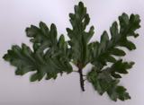 Turkey Oak1.4 mi
Explorer Tom Turkey Oak in County Kilkenny holds a fake world record for being the most confused tree in Ireland, having been…
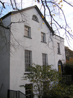 The Old RectoryRectory/glebe/vicarage/curate's house · 1.4 mi
Explorer Tom The Old Rectory in Threecastles has a retirement plan involving naps and ignoring the parishioners. It copies Lucan…
 Graveyard in ThreecastlesGraveyard · 1.4 mi
Explorer Tom Graveyard in Threecastles would spend its lotto win on a new fence because the current one is letting the cows in and…
 Castle (in ruins)Castle, tower house · 1.4 mi
Explorer Tom Castle in Threecastles would bring a bottle of wine and zero conversation to any party. It sits on the ridge like a…
 Church (in ruins)Church · 1.4 mi
Explorer Tom Church in Threecastles sits on a ridge where people leave offerings at Bealtaine, which is very mysterious business…
 Cloran CastleCastle · 1.5 mi
Explorer Tom Cloran Castle used to be a fancy tower house but got demoted to a shed because someone decided it would be better for…
 Memorial stone in Lacken (crannagh By.)Memorial stone · 2.0 mi
Explorer Tom Memorial stone in Lacken is full of rude Irish characters that nobody can actually decipher anymore. Locals say funeral…
 Fairy fort / earthen ringfort in BallycannonFairy fort / earthen ringfort · 2.2 mi
Explorer Tom Fairy fort / earthen ringfort in Ballycannon inspired a bad poem about mud and sorrow that nobody wanted to read. It…
More archaeology and monuments in County Kilkenny · All of County Kilkenny

What do you know about this place?Tap to add a comment or ask a question