
What is recorded here
From the National Monuments Service (Archaeological Survey of Ireland) record LI056-038
Places near here
Photo credits
- National Inventory of Architectural Heritage
- Maker not stated on source page, www.pinterest.com
- Maker not stated on source page, www.flickr.com
- Maker not stated on source page, www.atlasobscura.com
- john salter, Geograph · CC BY-SA 2.0
- Maker not stated on source page, en.wikipedia.org
- Maker not stated on source page, uk.pinterest.com
- Sporting Limerick; individual photographer not stated, sportinglimerick.com
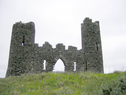 Castle OliverFolly · 1484 yd
Explorer Tom Castle Oliver has very strong opinions on modern buildings, mostly that they’re all wrong and need more turrets. It’s a…
 Castle HillMountain / peak · 1507 yd
Explorer Tom Castle Hill in County Limerick is deeply suspicious of the postman because he keeps leaving letters that nobody reads…
 Pillar StoneStanding stone · 1680 yd
Explorer Tom Pillar Stone in Ballinlyna Lower is playing hide-and-seek with me. It’s sick of people asking where it went, so I’ll…
 Stone Circle1.1 mi
Explorer Tom This Stone Circle in Ballinlyna Lower witnessed a love story that went horribly wrong next door. The stones are still…
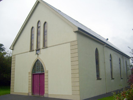 Saint Joseph's Catholic ChurchChurch/chapel · 1.2 mi
Explorer Tom Saint Joseph's Catholic Church in Ballyorgan has a biscuit tin buried under the altar, definitely. It’s been…
 Barrabunocka BridgeBridge · 1.2 mi
Explorer Tom Barrabunocka Bridge nearly got famous when a goat tried to cross it and got stuck halfway, blocking traffic for an…
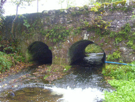 bridge1.4 mi
Explorer Tom Bridge in Ballyorgan claims it’s a shortcut, but honestly, it just looks like a very confident speed bump. Built by…
 Stone Grave called Druids BedStanding stone · 1.5 mi
Explorer Tom Stone Grave called Druids Bed in Ballynacourty is there because the map makers got completely confused by the name. It…
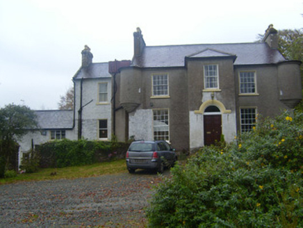 Waterloo HouseRectory/glebe/vicarage/curate's house · 1.5 mi
Explorer Tom Waterloo House in Coolfree has a family tree that’s mostly made up of imaginary cousins named John Murphy. The turrets…
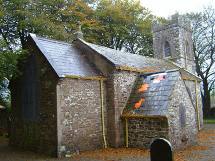 Kilflyn ChurchChurch/chapel · 1.5 mi
Explorer Tom Kilflyn Church in Ballyorgan is having a serious feud with the rain, which keeps trying to wash away its sandstone…
 Church in BallyorganChurch · 1.5 mi
Explorer Tom The Church in Ballyorgan is pretending it’s not just a modern building standing on ancient bones. There was a prophecy…
 Blackrock GAA pitchGAA ground · 2.0 mi
More archaeology and monuments in County Limerick · All of County Limerick

What do you know about this place?Tap to add a comment or ask a question