
What is recorded here
From OpenStreetMap (© OpenStreetMap contributors) n11925790805
Places near here
Photo credits
- National Inventory of Architectural Heritage
- Kenneth Allen, Geograph · CC BY-SA 2.0
- Eric Jones, Geograph · Creative Commons Attribution-ShareAlike 2.0
- Eric Jones, Wikimedia Commons · CC BY-SA 2.0
- D Gore, Geograph · CC BY-SA 2.0
- This file is from the Mechanical Curator collection , a set of over 1 million images scanned from out-of-copyright books and released to Flickr Commons by the British Library. View image on Flickr View all images from book View catalogue entry for book ., Wikimedia Commons · Public domain
- Kieran Campbell, Geograph · Creative Commons Attribution-ShareAlike 2.0
- Alvesgaspar, Wikimedia Commons · CC BY-SA 3.0
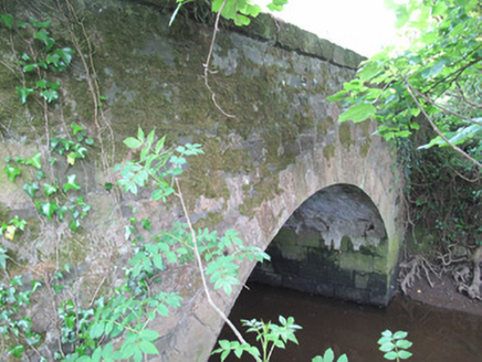 Madams BridgeBridge · 1092 yd
Explorer Tom Madams Bridge in Corrachulter has an arch so elegant it’s got a personal trainer. Locals say a matchmaker once worked there, pairing up anyone who crossed without looking back. Bring your nan, she’ll know exactly which stones to tap.
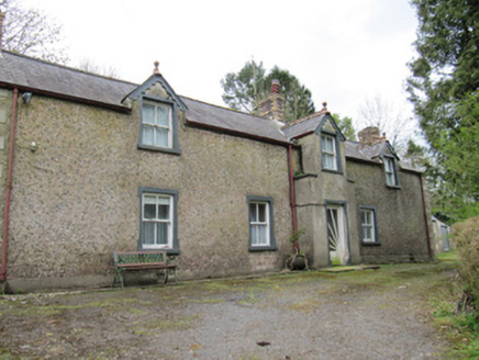 Violet ValeHouse · 1335 yd
Explorer Tom Violet Vale would be the aunt at the wedding who steals all the attention and then apologizes for it. The dormers stick out like they’re trying to peek into your business again. Go at s
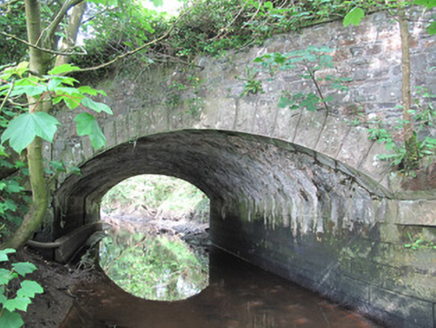 Corrachulter BridgeBridge · 1483 yd
 John AndersonCoaching inn · 1576 yd
 Drum Presbyterian ChurchChurch/chapel · 1601 yd
Explorer Tom Drum Presbyterian Church in Cortober is simple but has round-headed windows that make it look surprisingly friendly. There’s a fairy dispute over parking rights outside, which explains the weird energy around the village. It's the kind of place where you might bump into a ghost or a very confused tourist.
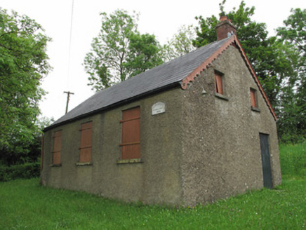 Corragarry Orange HallOrange Hall · 1.0 mi
Explorer Tom Corragarry Orange Hall in Corragarry is having a massive drama with the nearest tree over who looks better. The timber bargeboards are doing all the talking here, honestly. Find the wonkie angle, snap a pic, and don't let your ego get involved.
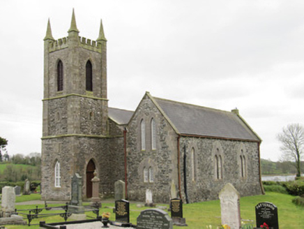 Drum Church (Currin)Church/chapel · 1.1 mi
Explorer Tom Drum Church in Currin is currently under the strict supervision of a very confused dog named Bob. He charges admission, but only if you scratch behind his ears properly. Have a look and decide if he's actually in charge!
 Dawson MonumentMonument · 3.1 mi
 Flagpole HillMountain / peak · 3.3 mi
 Dartrey ForestForest · 3.7 mi
 Grave YardGraveyard · 3.9 mi
Explorer Tom Killeevan Glebe graveyard is D-shaped because the map makers were drunk one Tuesday afternoon and couldn’t decide on a square. It sits on a ridge, looking slightly confused about its own geometry. Snap one photo, then put the phone away and actually look.
 Common Lime4.3 mi
Explorer Tom This Common Lime in County Monaghan keeps whispering to its younger self about making better leaf choices. It’s got serious regret issues now. If it's closed, admire it from the road like a polite stalker.
More mountains and hills in County Monaghan · All of County Monaghan

What do you know about this place?Tap to add a comment or ask a question