What is recorded here
Internal diam. 30m-35m. Marked 'Dunfinn' on the 2nd and 3rd editions of the OS 6-inch map the site consists of a subcircular area situated on the E end of an E-W ridge. At the W end is a bank of earth and stones 2m high and 21m N-S. This joins a curving stone wall at the SW side. The S is defined by the natural drop as is the E but there is tentative evidence of a bank along the E edge. To the N is a collapsed stone wall which curves around to join the W bank. It is situated on open mountain terrain with marshy land to the N and SE.
The above description was derived from the 'Archaeological Survey of County Donegal. A description of the field antiquities of the County from the Mesolithic Period to the 17th century.' Compiled by: Brian Lacey with Eamon Cody, Claire Cotter, Judy Cuppage, Noel Dunne, Vincent Hurley, Celie O'Rahilly, Paul Walsh and Seán Ó Nualláin (Lifford: Donegal County Council, 1983). In certain instances the entries have been revised and updated.
Date of upload: 22 September 2008
Dunfinn Stone Ringfort, Carnaghan is a subcircular early-medieval ringfort, likely dating to between the 5th and 10th centuries AD, characterized by an internal diameter of 30m–35m and a stone and earth bank at its western end. Local tradition may associate such sites with fairy lore, though specific folklore connected to this fort is not recorded.
The monument record does not grant public access. Check the route and ask the landowner before entering private land.
- What survives
- Recorded monument
Places near here
 InchIsland · 143 yd
 Possible Chambered GravePublicly named tomb or grave · 384 yd
 King's GraveArchaeological place · 604 yd
 Carnaghan Portal TombPortal tomb · 628 yd
 kilnkiln · 825 yd
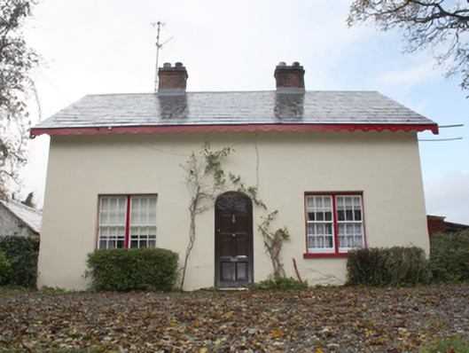 farm housefarm house · 825 yd
 Lackan ForestForest · 1.1 mi
 Mullanadee ShoreBeach / strand · 1.2 mi
 Old CastleCastle, tower house · 1.3 mi
 Mass RockNamed rock · 1.3 mi
 Brown’s PointHeadland · 1.3 mi
 Inch FortCastle · 1.4 mi