
What is recorded here
Detached three-bay Presbyterian church, built c. 1860, with two-bay two-storey vestry and Sunday school to east. Pitched slate roofs, with decorative blue-black clay ridge cresting, acorn finial to gables of church, rectangular rendered chimneystack to vestry gable and cast-iron rainwater goods. Roughcast and pebbledash rendered walls, recessed rendered plinth to front elevation. Square-headed window openings, with one-over-one timber horned sashes with coloured margin lights; round-headed to west gable, fixed timber frames with coloured margin lights; square-headed to vestry with replacement timber casement windows; all with smooth rendered reveals and painted stone sills. Square-headed entrance door opening, painted timber vertically-sheeted door, smooth rendered reveals, rendered stone plinth-blocks, door addressed by polychromic geometrically-laid tiled doorstep. Church set back to road, graveyard to north and east with gravemarkers from 1852 to 2006; rubble stone boundary wall with crenellated rubble stone coping, cast-iron pedestrian gate with fleur-de-lys finials on octagonal cast-iron piers with spire finial, and wrought and cast-iron hoop railings double gates with spear finials and decorative handle on rectangular rubble stone piers with projecting ashlar stone diamond-headed cap.
A nineteenth century Presbyterian church distinguished by the simplicity of its design and which is interestingly extended by the attached two-storey vestry and Sunday school. Its effect is created by its elegant proportions and the use of well detailed materials. The design is enlivened by the cresting ridge tiles, finials and the attractive coloured margin-light windows. The finely worked gates and the handsome stone boundary wall contribute to and are integral to its character and the surrounding environment. A Meeting House is shown on the site on the Ordnance Survey first edition six-inch map of c. 1837.
This does not grant access. Most recorded buildings are privately owned; view them only from public ground unless the owner allows entry.
Places near here
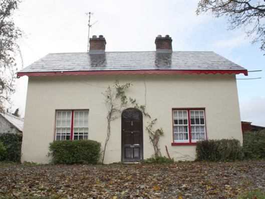 farm housefarm house · 263 yd
 kilnkiln · 292 yd
 Former Carrickanee Fairy FortFairy fort / ringfort · 555 yd
 InchIsland · 762 yd
 Inch Island Standing Stones and Megalithic TombPublicly named standing stone · 816 yd
 King's GraveArchaeological place · 831 yd
 Mass RockNamed rock · 1.0 mi
 Old CastleCastle, tower house · 1.1 mi
 Lackan ForestForest · 1.4 mi
 Bawn in An Machaire Beag (tc Fathain)Bawn · 1.5 mi
 Brown’s PointHeadland · 1.5 mi
 Mullanadee ShoreBeach / strand · 1.7 mi
Other information
Photo: Kenneth Allen · Creative Commons Attribution-ShareAlike 2.0