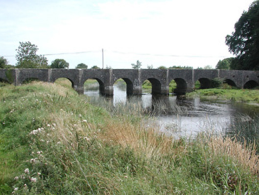
What is recorded here
Ten-arch masonry road bridge, built c.1770 by Caulfields on the site of a twelfth-century bridge. Full-height V-cutwaters up and down stream. Random coursed limestone walls with round-headed arch-rings. Pedestrian refuges to parapet level. This bridge spans the River Suck and leads to Dunamon Castle.
Dunamon Bridge has been a crossing on the River Suck since the twelfth century when Dunamon Castle was first recorded in the Annals of the Four Masters. Since then, the bridge has undergone many alterations and improvements. The bridge today dates to the 1770s when the then owners of Dunamon Castle rebuilt and improved the bridge. A print of the castle from about 1792 illustrates the bridge in its current form with the pedestrian refuges at parapet level. The bridge is a striking feature in the landscape of the Suck Valley and an appropriately impressive route to the imposing Dunamon Castle.
From the Buildings of Ireland (National Inventory of Architectural Heritage) record 31938003
This does not grant access. Most recorded buildings are privately owned; view them only from public ground unless the owner allows entry.
Places near here
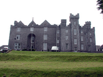 Dunamon CastleCountry house · 171 yd
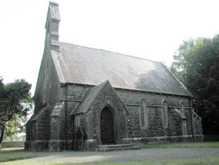 Dunamon ChurchChurch/chapel · 878 yd
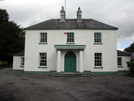 Carrigans Park HouseCountry house · 1.4 mi
 European ash1.6 mi
 European Yew1.7 mi
 IndicatedRound tower · 2.9 mi
 Stone sculptureStone sculpture, aniconic · 3.8 miSally IslandIslet · 4.3 mi
_-_geograph.org.uk_-_1952978.jpg/250px-Castles_of_Connacht,_Glinsk,_Galway_(2)_-_geograph.org.uk_-_1952978.jpg "Photo: Mike Searle, Wikimedia Commons · CC BY-SA 2.0") Bawn in Glinsk (ballymoe By.)Bawn · 4.8 miMount MaryMountain / peak · 5.3 miSite of Killomaine Grave YardArchaeological place · 5.4 mi
Bawn in Glinsk (ballymoe By.)Bawn · 4.8 miMount MaryMountain / peak · 5.3 miSite of Killomaine Grave YardArchaeological place · 5.4 mi.jpg/250px-Castles_of_Connacht-_Ballintober,_Roscommon_(geograph_1954203).jpg "Photo: Mike Searle, Wikimedia Commons · CC BY-SA 2.0") CastleCastle, Anglo-Norman masonry castle · 7.3 mi
CastleCastle, Anglo-Norman masonry castle · 7.3 miPictures: National Inventory of Architectural Heritage; Willow, Wikimedia Commons · CC BY 2.5; Sitomon, Wikimedia Commons · CC BY-SA 2.0; AmandaMcCrann, Wikimedia Commons · CC BY-SA 4.0; Sarah777 at en.wikipedia, Wikimedia Commons · Public domain; Mike Searle, Wikimedia Commons · CC BY-SA 2.0
More historic places in County Roscommon · All of County Roscommon
What do you know about this place?