What is recorded here
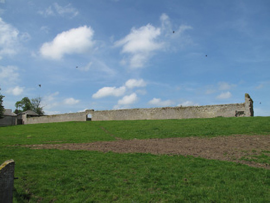
Drumreaske in Drumreask gives its walled garden a dressed-stone arch, then raises the wall above it for extra grandeur. You'd expect a duke to emerge. Out comes a cabbage, looking as though it owns three counties.
Rectangular-plan walled garden, built c.1800, with walls of coursed rubble stone, dressed sandstone coping remaining to north-west elevation, red brick section to north-east elevation, gauged dressed sandstone segmental arch entrance opening to front (south-east) elevation, dressed stone surround, having raised parapet wall over, with dressed stone coping.
This large walled garden is typical of the structures associated with country estates. Its walls are of well-built limestone and the segmental archway presents a fitting entrance to the interior.
From the Buildings of Ireland (National Inventory of Architectural Heritage) record 41400986
This does not grant access. Most recorded buildings are privately owned; view them only from public ground unless the owner allows entry.
Places near here
Photo credits
- National Inventory of Architectural Heritage
- Willow, Wikimedia Commons · CC BY 2.5
- Allie_Caulfield from Germany, Wikimedia Commons · CC BY 2.0
- Eric Jones, Geograph · CC BY-SA 2.0
- Andreas F. Borchert, Wikimedia Commons · CC BY-SA 3.0 de
- Raymond Okonski, Wikimedia Commons · CC BY-SA 2.0
- Brian Lenehan, Geograph · CC BY-SA 2.0
- Walking with a phone, Wikimedia Commons · CC BY-SA 4.0
- Kenneth Allen, Geograph · CC BY-SA 2.0
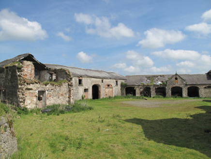 DrumreaskeOutbuilding · 55 yd
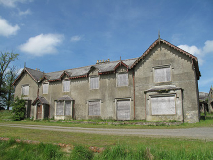 DrumreaskeCountry house · 79 yd
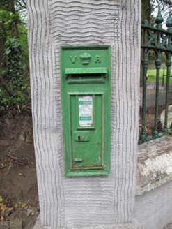 post box569 yd
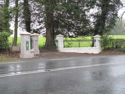 Lisdoogan HouseGates/railings/walls · 569 yd
 European ash1.5 mi
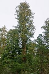 Coast Redwood2.1 mi
 Dawson MonumentMonument · 2.2 mi
 Monaghan County MuseumMuseum · 2.2 mi
 Rossmore MonumentMemorial · 2.2 mi
 Old Cross SquareMonument · 2.4 mi
 Rossmore MausoleumHeritage attraction · 3.2 mi
 Sliabh Beagh Hotel and Tourism CentreVisitor information · 5.4 mi
More historic places in County Monaghan · All of County Monaghan
What do you know about this place?