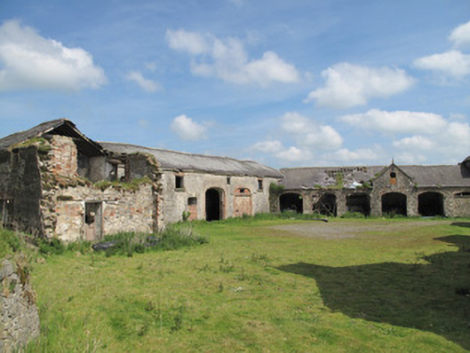
What is recorded here
Drumreaske in Drumreask puts the date '184-' on a decorative panel over its outbuildings. Paying for fancy tiles and then withholding the last digit is magnificent vanity: 'I'm in my eighteen-forties, and that's quite enough out of you.'
Range of outbuildings, built c.1845, to rear (north-west) of Drumreaske House. L-plan two-storey multiple-bay block to west, south wing partly demolished. Seven-bay single-storey arcaded block to east, terminating in two-storey square-plan tower to south. Pitched slate roofs, with terracotta ridge tiles, and dressed stone eaves course. Lean-to roof to single-storey block, rear forming part of south-west elevation of walled garden. Central gable-fronted bay to front (south-west) elevation, with tooled stone coping and finial. Roughly coursed squared rubble stone walls, with red brick infill to some areas. Decorative tiled panel to central bay to south-west elevation, with date of 184-. Square-headed window openings having dressed stone sills and timber fittings. Three-centred arch opening to south-east elevation with dressed gauged stone voussoirs. Gauged-brick three-centred arches to south-east elevation having red brick surrounds, one blocked. Arcade of gauged-brick three-centred arches to south-west elevation. Gauged-brick oculus to central pedimented bay. Square-headed openings to tower to south, some blocked, some with red brick surrounds. Square-headed door openings to north-east elevation of tower, with timber fittings, overhanging eaves supported on timber columns to north-east elevation, and timber balcony to first floor.
The simple form of these well-executed structures reflect the utilitarian nature of their function. They create a pleasing architectural group with the attached walled garden and Drumreaske House. Red brick and dressed sandstone dressings to openings add interest to the facades. The walled garden fulfilled a practical as well as leisure purpose in providing food for the household. It retains some pleasing features including its arched opening to the front and markedly enhances the context of the site.
From the Buildings of Ireland (National Inventory of Architectural Heritage) record 41400978
This does not grant access. Most recorded buildings are privately owned; view them only from public ground unless the owner allows entry.
Places near here
Photo credits
- National Inventory of Architectural Heritage
- Willow, Wikimedia Commons · CC BY 2.5
- Allie_Caulfield from Germany, Wikimedia Commons · CC BY 2.0
- Eric Jones, Geograph · CC BY-SA 2.0
- Andreas F. Borchert, Wikimedia Commons · CC BY-SA 3.0 de
- Raymond Okonski, Wikimedia Commons · CC BY-SA 2.0
- Brian Lenehan, Geograph · CC BY-SA 2.0
- Walking with a phone, Wikimedia Commons · CC BY-SA 4.0
- Kenneth Allen, Geograph · CC BY-SA 2.0
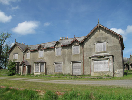 DrumreaskeCountry house · 35 yd
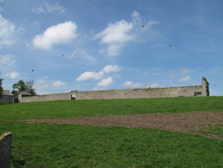 DrumreaskeWalled garden · 55 yd
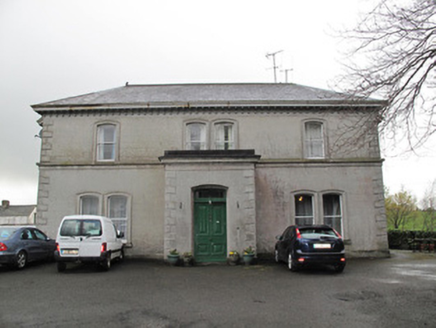 Lisdoogan HouseHouse · 528 yd
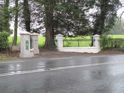 Lisdoogan HouseGates/railings/walls · 533 yd
 European ash1.5 mi
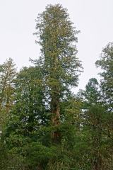 Coast Redwood2.1 mi
 Dawson MonumentMonument · 2.2 mi
 Monaghan County MuseumMuseum · 2.2 mi
 Rossmore MonumentMemorial · 2.2 mi
 Old Cross SquareMonument · 2.4 mi
 Rossmore MausoleumHeritage attraction · 3.1 mi
 Sliabh Beagh Hotel and Tourism CentreVisitor information · 5.4 mi
More historic places in County Monaghan · All of County Monaghan
What do you know about this place?