What is recorded here
On a gentle NW-facing slope in undulating pasture. A subcircular area (c. 28m NW-SE; c. 24.9m NE-SW) defined by nine glacial erratics: two are upright, four are recumbent but were probably originally in an upright position, and three consist of large irregularly shaped boulders. The uprights are at WSW (H 1.36m) and NW (H 1.55m). The recumbent stones are at NE (L 2.3m), SSE (L 2.2m), S (L 2.5m) and WNW (L c. 2.2m). The stone at WNW is broken into two unequal pieces. The remaining three boulders are at ENE (one) and SE (two). At NNW is a spread of small and medium-sized stones (5.7m x 4.2m). Two low erratics were noted c. 5.7m and c. 19m to the SE of the monument. (ITA Survey 1944; Ó Nualláin 1975, 111; O'Donovan 2003, 20; Moore 2007, No. 5)
Compiled by: Patrick F. O'Donovan
Date of upload: 22 November 2012
See attached plan and elevation of the monument (LF011-016----_01.pdf) and an aerial photograph (LF011-016----_01.jpg).
Probably dates to the Neolithic or Early Bronze Age, given the use of glacial erratics in a subcircular arrangement, which may indicate a ceremonial or ritual function. The site may have been associated with seasonal gatherings or astronomical observations, though specific folklore or use is not recorded.
The monument record does not grant public access. Check the route and ask the landowner before entering private land.
- What survives
- Recorded monument
Places near here
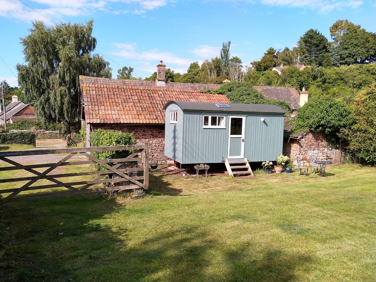 Hut site in ToberfelimHut site · 606 yd
 Ecclesiastical enclosure in Ballynacross,toberfelimEcclesiastical enclosure · 655 yd
 Church in KilbrideChurch · 1578 yd
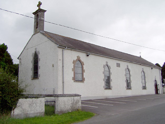 Saint Mary's Catholic Churchchurch/chapel · 1677 yd
 Bakers FortCastle, ringwork · 1.2 mi
 1798 Monumentmonument · 1.4 mi
 Granard MotteMotte-and-bailey castle remains · 1.5 mi
 CastleCastle, unclassified · 1.5 mi
 CartronfreeMountain / peak · 2.3 mi
 CarrickabaneMountain / peak · 2.9 mi
 Moynagh Upper ForestForest · 3.5 mi
 Carrick RockWood · 3.6 mi