
What is recorded here
On a gentle NW-facing slope in undulating pasture. A subcircular area (c. 28m NW-SE; c. 24.9m NE-SW) defined by nine glacial erratics: two are upright, four are recumbent but were probably originally in an upright position, and three consist of large irregularly shaped boulders. The uprights are at WSW (H 1.36m) and…
Read the whole record
From the National Monuments Service (Archaeological Survey of Ireland) record LF011-016
Places near here
Photo credits
- Maker not stated on source page, ca.pinterest.com
- Maker not stated on source page, en.wikipedia.org
- Maker not stated on source page, commons.wikimedia.org
- Maker not stated on source page, www.neverstoptraveling.com
- Maker not stated on source page, roaringwaterjournal.com
- National Inventory of Architectural Heritage
- Eric Jones, Geograph · CC BY-SA 2.0
- Kmcnamee, Wikimedia Commons · CC BY-SA 4.0
- Maker not stated on source page, www.tripadvisor.ie
- 2ManyCats4Me, Wikimedia Commons · CC0
- Granard Motte.png : Smcq Derivative work: Hogweard, Wikimedia Commons · CC BY-SA 3.0
 Standing stone in ToberfelimStanding stone · 729 yd
Explorer Tom Standing stone in Toberfelim is being used as a scratching post by very rude cattle. It reviews every visitor who comes…
 CastleCastle, unclassified · 804 yd
Explorer Tom Castle in Ballynacross is planning to win the county fair for ‘Best Hidden Object’ by simply not being there. Sir…
 Standing stone in CartronboreStanding stone · 1102 yd
Explorer Tom Standing stone in Cartronbore, County Longford got there by mistake because its taxi driver was watching a football…
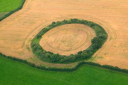 Fairy fort / earthen ringfort in HigginstownFairy fort / earthen ringfort · 1629 yd
Explorer Tom Fairy fort / earthen ringfort in Higginstown was built by a guy who always had an escape plan ready. He knew exactly…
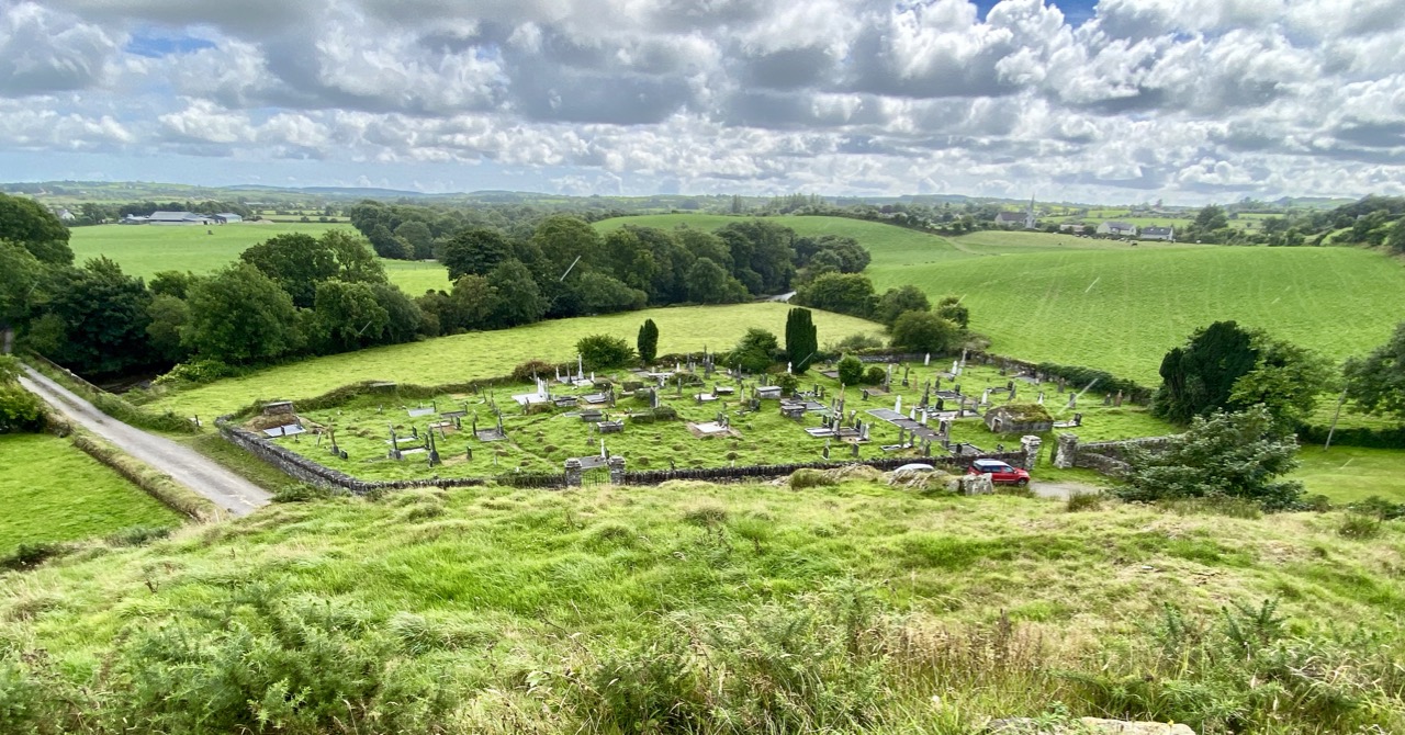 Carragh GraveyardGraveyard · 1653 yd
Explorer Tom Carragh Graveyard thinks the road leading to it is too flashy and demands you walk in with humility. It’s judging your…
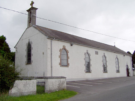 Saint Mary's Catholic ChurchChurch/chapel · 1677 yd
Explorer Tom Saint Mary's Church has strict visitor rules: stand still and don’t touch the stained glass or you’re out. That little…
 SpringlawnGates/railings/walls · 1709 yd
Explorer Tom Springlawn has a secret it would spill after three pints, but it’s too polite to say it out loud. The gates are…
 Higginstown, St. Mary's GAA, GranardGAA ground · 1.1 mi
 Abbeylara GraveyardGraveyard · 1.1 mi
Explorer Tom Saint Patrick probably walked into Abbeylara Graveyard, saw the layout, and sighed because he knew it would take…
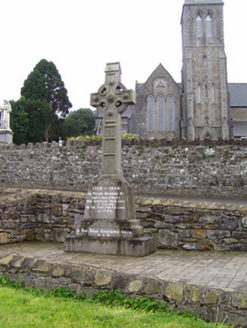 1798 MonumentMonument · 1.4 mi
Explorer Tom The 1798 Monument in Granard uses a Celtic high cross style to tell you about a battle that happened two hundred years…
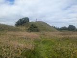 Granard MotteMotte-and-bailey castle remains · 1.5 mi
Explorer Tom Granard Motte would describe the 1800s to a teenager as 'basically a long queue for nothing'. It's just a big mound…
 Moat of GranardCastle, motte and bailey · 1.5 mi
Explorer Tom The local sheep at Granard Moat rate it a solid four stars for grass quality. Richard de Tuit built it in 1199 to fight…
More archaeology and monuments in County Longford · All of County Longford

What do you know about this place?Tap to add a comment or ask a question