What is recorded here
In rolling pasture. This upright stone (H 1.23m; Wth 0.8m; T 0.57m) tapers to a point and is aligned NW-SE. It is used as a scratching post by cattle.
Compiled by: Patrick F. O'Donovan
Date of upload: 1 March 2012
The monument record does not grant public access. Check the route and ask the landowner before entering private land.
- What survives
- Recorded monument
Places near here
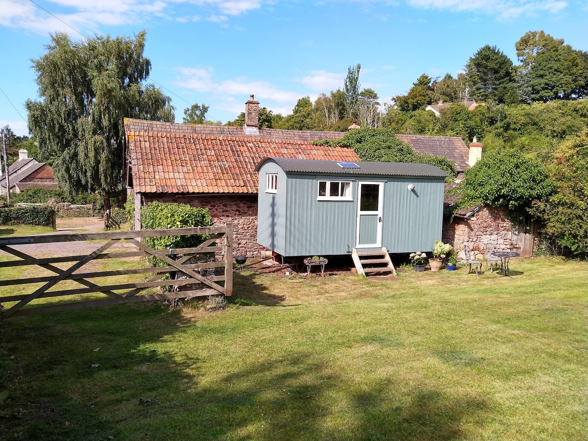 Hut site in ToberfelimHut site · 147 yd
 Dunclá or Black Pigs RaceArchaeological place · 225 yd
 Church in KilbrideChurch · 1441 yd
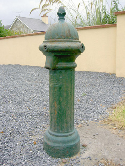 water pumpwater pump · 1541 yd
 Bakers FortCastle, ringwork · 1.6 mi
 1798 Monumentmonument · 1.8 mi
 Granard MotteMotte-and-bailey castle remains · 1.9 mi
 CastleCastle, unclassified · 1.9 mi
 CartronfreeMountain / peak · 2.4 mi
 CarrickabaneMountain / peak · 2.6 mi
 Moynagh Upper ForestForest · 3.3 mi
 Carrick RockWood · 3.3 mi