
What is recorded here
Map note: Look up Dowry, a mountain or peak in County Wicklow, Ireland. A hill can keep its own counsel; the surrounding map is ready to explore.
Dowry is recorded as a mountain / peak in County Wicklow.
From OpenStreetMap (© OpenStreetMap contributors) n1494091800
Places near here
Photo credits
- National Inventory of Architectural Heritage
- Jonathan Billinger, Geograph · CC BY-SA 2.0
- Colin Park, Geograph · CC BY-SA 2.0
- Hamish Bain, Wikimedia Commons · CC BY-SA 2.0
- originally uploaded to the English Wikipedia by w:User:Jtdirl, Wikimedia Commons · Public domain
- Wanfried-Dublin, Wikimedia Commons · CC BY-SA 4.0
- 瑞丽江的河水, Wikimedia Commons · CC BY-SA 4.0
- James Allan, Wikimedia Commons · CC BY-SA 2.0
Rock WoodForest · 664 yd The ManorHouse · 1186 ydTinode HouseWorker's house · 1.4 miButter MountainMountain / peak · 1.6 miCupidstown HillMountain / peak · 2.2 miCastleCastle, tower house · 2.3 miOldcourtMemorial · 2.4 miBallinascorney WoodForest · 3.7 miProclamation of the Irish RepublicMemorial · 4.4 miWedge tomb in CarrigWedge tomb · 4.7 miRath Turtle MoatFairy fort / ringfort · 4.8 miBurgage CastleRuins · 5.3 mi
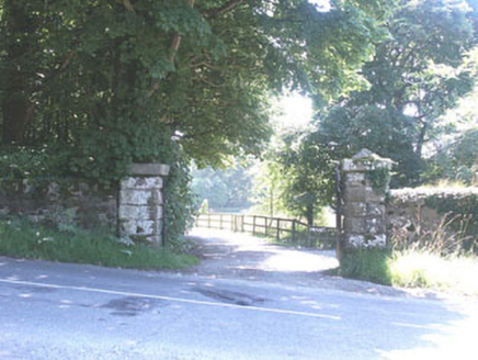 The ManorHouse · 1186 yd
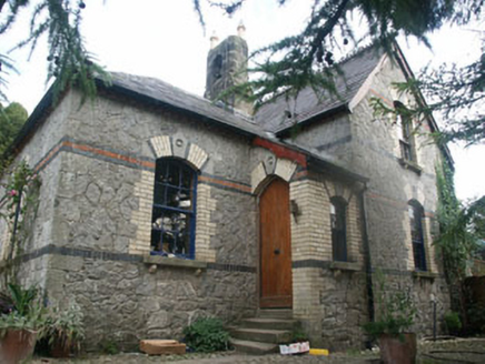 Tinode HouseWorker's house · 1.4 mi
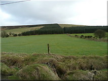 Butter MountainMountain / peak · 1.6 mi
 Cupidstown HillMountain / peak · 2.2 mi
 CastleCastle, tower house · 2.3 miOldcourtMemorial · 2.4 miBallinascorney WoodForest · 3.7 mi
Explorer Tom Ballinascorney Wood in County Dublin has a picture of a barn from Ohio, which makes no sense to me at all. Maybe someone mixed up their files, or maybe there's a secret barn here too. Find it and snap a pic for me to see what you found.
 Proclamation of the Irish RepublicMemorial · 4.4 mi
 Wedge tomb in CarrigWedge tomb · 4.7 mi
 Rath Turtle MoatFairy fort / ringfort · 4.8 mi
 Burgage CastleRuins · 5.3 mi
More mountains and hills in County Wicklow · All of County Wicklow

What do you know about this place?Tap to add a comment or ask a question