
What is recorded here
Early 19th-century road bridge (Wth 6.8m) over Brinny river where it joins Bandon River; just NW of Downdaniel Castle (CO097-05002-). According to local tradition, Brinny river originally flowed N of Downdaniel Castle and was diverted in early 19th century to its present course. Three semicircular arches; hump-backed; pointed breakwaters.
The above description is derived from the published 'Archaeological Inventory of County Cork. Volume 1: West Cork' (Dublin: Stationery Office, 1992). In certain instances the entries have been revised and updated in the light of recent research.
Date of upload/revision: 14 January 2009
The monument record does not grant public access. Check the route and ask the landowner before entering private land.
- What survives
- Recorded monument
Places near here
 Downdaniel Castle (in Ruins)Castle, tower house · 40 yd
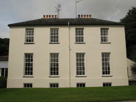 Dundaniel Housecountry house · 247 yd
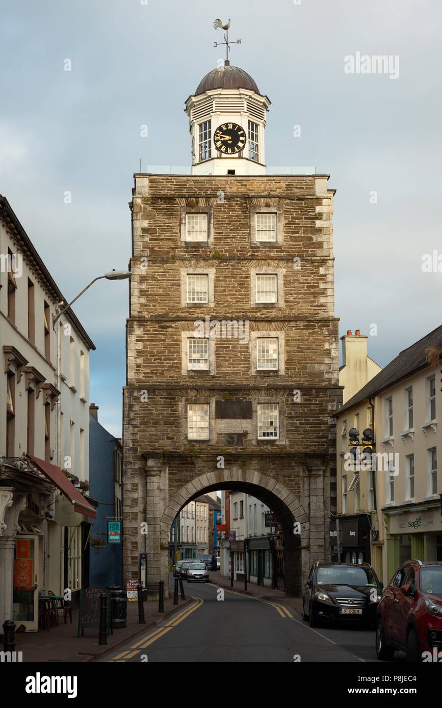 Tower (in Ruins)Designed landscape, belvedere · 276 yd
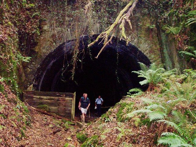 tunneltunnel · 474 yd
 Monterey CypressMonterey Cypress · 550 yd
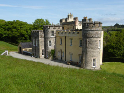 IndicatedEnclosure · 778 yd
 Innishannon WoodsPicnic place · 1108 yd
 Dromkeen WoodWood · 1157 yd
 Carbury's WellSpring · 2.5 mi
 Bandon War MemorialMemorial · 2.6 mi
 Carrighnassig Castle (Site of)Castle, unclassified · 2.7 mi
 Marie LouiseWreck · 2.9 mi
Other information
Photo: Credit not shown in the picture search · Rights wording not checked; contact us if this picture should be removed