DDiscover AloneMapAbout

Doupy Mills

Mill (water)
Doupy Mills
Photo: Kenneth Allen, Geograph · CC BY-SA 2.0 · Report the wrong picture

This does not grant access. Most recorded buildings are privately owned; view them only from public ground unless the owner allows entry.

What do you know about this place?Tap to add a comment or ask a question

What you write will be public.

What is recorded here

Complex of mill buildings, built c.1820, with additions of c.1910. Now disused. Comprising water-powered corn mill, kiln and store, engine-driven grain mill, engine house, and mill office. Attached multiple-bay two-storey corn kiln and store, comprising five-bay ground floor and three-bay first floor, with one blocked…

Read the whole record
Complex of mill buildings, built c.1820, with additions of c.1910. Now disused. Comprising water-powered corn mill, kiln and store, engine-driven grain mill, engine house, and mill office. Attached multiple-bay two-storey corn kiln and store, comprising five-bay ground floor and three-bay first floor, with one blocked door loading door opening to first floor front (south) elevation. Single-storey to rear (north) due to slope of site. Pitched corrugated-iron roof. Random rubble walls, linked to corn mill to east, with brick eaves course and brick quoins to first floor level to gable walls. Segmental-headed window openings with block-and-start surrounds, and some timber-framed windows. Square-headed loop window openings to ground floor. Segmental-headed door openings with brick surrounds and timber battened doors. Attached two-storey corn mill to south-east, having engine-driven mill, built c.1910, at south-east, and with abutting corrugated-iron-sided grain mill at south-east. Single-storey to north due to slope of site. Pitched corrugated-iron roof, gabled to east and west. Random rubble walls with some cement rebuilt sections. External water-wheel to north-east gable with cast-iron rim and angled wooden buckets and sole-plate. Square-headed window openings with timber-framed windows, with cast-iron lattice-pane window to rear. Gauged-brick door opening with red brick block-and-start surrounds and timber battened door to front. Square-headed door openings with timber battened fittings to rear. Single-bay two-storey grain mill abutting south-east of corn mill. Corrugated-iron flat roof and wall cladding. Cement rendered, breeze-block and corrugated-iron-clad engine house, with flat corrugated-iron roof, attached to south-east of grain mill. Square-headed window opening with timber-framed window. Square-headed door openings. Three-bay single-storey mill office to south-west of corn kiln. Pitched corrugated-asbestos roof, gabled to north and south. Cast-iron rainwater goods. Cement wet-cast rendered walls. Timber name-plate over door, trace of lettering, illegible. Square headed window openings with render sills and corrugated-iron closure. Square-headed door opening with timber battened door. Free-standing tapered square-plan brick chimneystack north of mill complex, built c.1910, on square-plan random rubble walled base, and with dentillated brick cornice. Red brick shaft in English Garden Wall bond with queens closers. Detached two-bay single-storey mill-related house with attic and aligned east-west along south side of road at junction. Pitched slate roof with clay ridge tiles and central brick chimney. Random rubble walls, some remaining lime render, with dressed quoins. Square-headed and gauged brick openings with some timber fittings. Remains of water-powered flax mill to north-east of corn mill, comprising two-bay single-storey mill building and single-bay single-storey shed. Pitched corrugated-asbestos roof to mill, with mono-pitch corrugated-iron roof to shed. Cement wet-dash rendered walls to mill. Coursed rubble and corrugated-iron cladding to shed. Square-headed window and door openings, with timber battened door and timber pivoted and casement windows to mill. Water channel to east of complex, with remains of mill pond and sluices to north-east. Located to north of Ballybay to Newbliss road, north of Dundalk to Enniskillen branch of Great Northern Railway opened in 1855.
Although now disused Doupy Mills survives as a fine example of a substantial early nineteenth-century water- and engine-powered corn and flax mill complex with some interesting later additions. A corn mill and flax mill are both cited on the 1835 and 1858 OS maps, the 1861 Griffith Valuation describes the premises as 'miller's house, offices, corn & flax mills', all operated by Joseph Crawford and rated at £12. Doupy Corn and Flax Mills are named on the 1908 OS map, as are the mill pond, mill race and sluices to the north-east. Neither the engine-powered corn and flax mills, nor the chimney, are shown on this 1908 map. Doupy Mills was a focal point for the local community, playing a key role in the economic prosperity of the area before and after the Great Famine. The building also serves as a reminder of past industrial processes and represents an integral element of the industrial heritage of predominantly agricultural rural Monaghan, which had a high proportion of grain mills and flax industry. Technically, the water-wheel is of note, and the red brick and rubble stone mill buildings are complimented by attractively-aged corrugated-iron roofs and an original latticed window to the north. The overall mass and height of this prominent roadside grouping of mill buildings make this complex a significant element in the landscape.

From the Buildings of Ireland (National Inventory of Architectural Heritage) record 41401801

Places near here

Photo credits
  • Kenneth Allen, Geograph · CC BY-SA 2.0
  • Maker not stated on source page, commons.wikimedia.org
  • National Inventory of Architectural Heritage
  • Kenneth Allen, Geograph · Creative Commons Attribution-ShareAlike 2.0
  • Maker not stated on source page, www.pinterest.com
  • Maker not stated on source page, www.neverstoptraveling.com
  • Maker not stated on source page, www.geograph.ie
  • Maker not stated on source page, www.alamy.com
  • Kmcnamee, Wikimedia Commons · CC BY-SA 4.0
bridge445 yd

Explorer Tom Bridge in Aghnacue is spanning what used to be a railway line, looking like it’s got plenty of time on its hands now…

Fairy fort / earthen ringfort in Drollagh (dartree By)Fairy fort / earthen ringfort · 942 yd

Explorer Tom Fairy fort / earthen ringfort in Drollagh handles nosy neighbours by just being damp and overgrown, which keeps most…
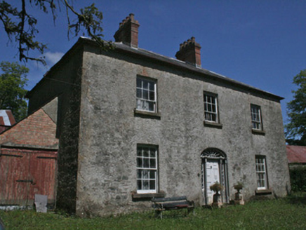
Drumbrean CottageHouse · 991 yd

Explorer Tom Drumbrean Cottage in Drumbrean has been standing since the late eighteenth century, keeping its Georgian proportions as…

Drumkeen Presbyterian ChurchChurch/chapel · 1124 yd

Explorer Tom Drumkeen Presbyterian Church saw a fox take charge of the pulpit during a very serious service. The animal barked at…

Fairy fort / earthen ringfort in KinduffFairy fort / earthen ringfort · 1634 yd

Explorer Tom Fairy fort / earthen ringfort in Kinduff has a local superstition that says you must whistle or it gets offended. It’s…
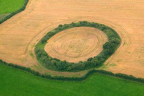
Fairy fort / earthen ringfort in Drumhirk (dartree By)Fairy fort / earthen ringfort · 1727 yd

Explorer Tom Drumhirk’s fort is waiting for Saint Patrick to come back and explain why the snakes left without a note. The outer…

Fairy fort / earthen ringfort in DrumgarlyFairy fort / earthen ringfort · 1.3 mi

Explorer Tom Fairy fort / earthen ringfort in Drumgarly thinks a king visited, but nobody can prove it. It’s sitting on a drumlin…
Saint Mary's Catholic ChurchChurch/chapel · 1.4 mi

Explorer Tom Saint Mary's Catholic Church in Latnamard is having a fairy dispute over who gets to park their tiny cars near the…
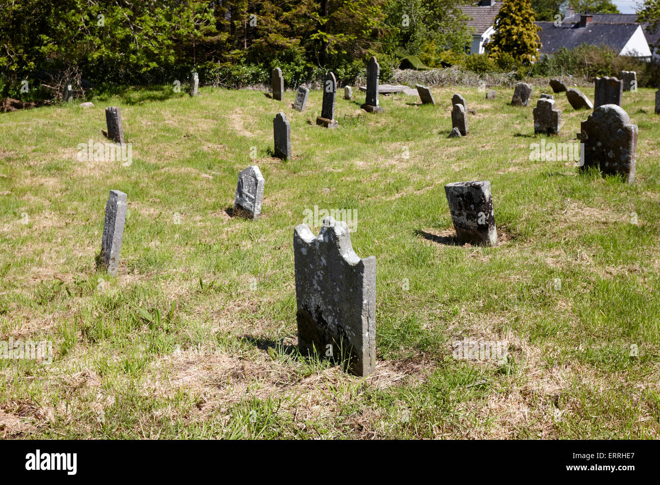
Mapped cemeteryCemetery · 1.4 mi

Explorer Tom Mapped cemetery in County Monaghan has a secret life when nobody’s looking; it probably rearranges its headstones to…

Páirc Emmet, Aghabog EmmetsGAA ground · 1.6 miAghabog ChurchChurch/chapel · 1.6 mi

Explorer Tom Aghabog Church in Crover would buy a lotto win and spend it all on more stained glass because why not? The hammerbeam…

Megalithic tomb in GenaghMegalithic tomb · 1.8 mi

Explorer Tom Megalithic tomb in Genagh was built on a deal where the giants paid in potatoes instead of gold. It’s still sitting…

More historic places in County Monaghan · All of County Monaghan

Add to this placeAdd a picture Add a detailed tip Add a story

Explore the map1,095,414 places to discover

Next place · or swipebridge