What is recorded here
Fairy forts are human ringforts misnamed by folklore. This is a broken earthen circle on a Monaghan ridge, partly eaten by farms and scrub. The fantasy is not the point. The point is that ordinary people built defensible places everywhere, and memory later decorated them with fairies because human history was less convenient.
Located at the crest of the S-facing slope of an E-W drumlin ridge. This is a circular grass and scrub-covered area (diam. 33m NW-SE; 30m NE-SW) defined by an overgrown earthen bank that is best preserved (at S: Wth of base 5.6m; int. H 0.3m; ext. H 2.8m) NNW-E-S and is separated by a flat-bottomed fosse (at S: Wth of top 4m; Wth of base 2.5m; ext. D 1m) from an outer bank SSW-WNW. The fosse is replaced by a farm lane NNW-NNE and the outer bank is incorporated into a field bank NNE-SE. There are many gaps in the banks but the original entrance is not identified.
The above description is derived from the published 'Archaeological Inventory of County Monaghan' (Dublin: Stationery Office, 1986). In certain instances the entries have been revised and updated in the light of recent research.
Compiled by: Michael Moore
Date of revision: 18 June 2018
The monument record does not grant public access. Check the route and ask the landowner before entering private land.
- What survives
- Recorded monument
Places near here
 Saint Mary's Catholic Churchchurch/chapel · 822 yd
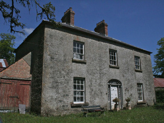 Drumbrean Cottagehouse · 928 yd
 Cromlech CarnCourt tomb · 1400 yd
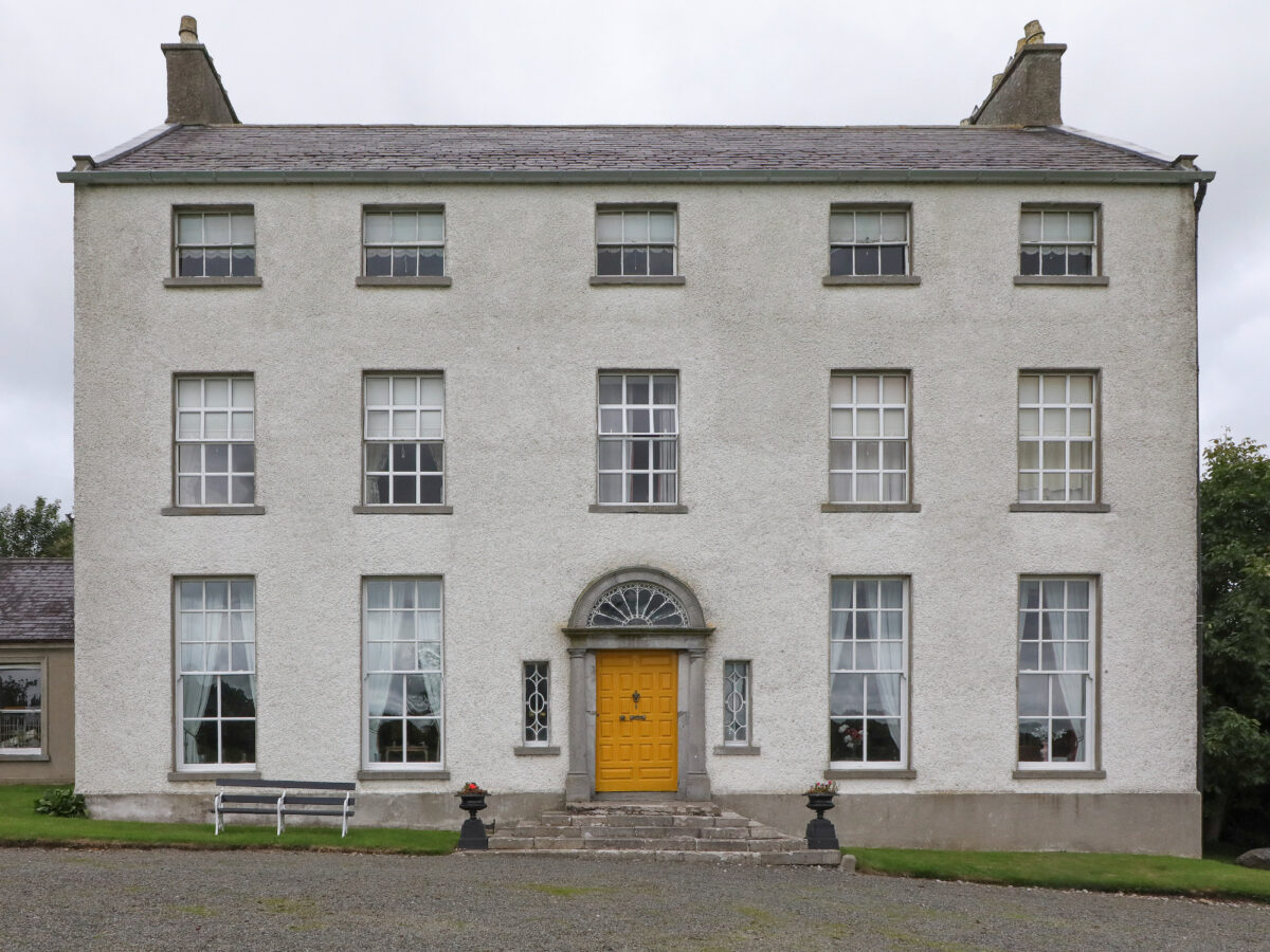 IndicatedFairy fort / earthen ringfort · 1528 yd
 Lisarrilly HillMountain / peak · 2.2 mi
 Roosky Castle (Site of)Castle, ringwork · 2.6 mi
 Tomb HillMountain / peak · 2.9 mi
 Common LimeCommon Lime · 4.5 mi
 Dagda's CauldronHeritage attraction · 4.5 mi
 Jaundice WellSpring · 4.5 mi
 Giant Redwood (1862)Heritage attraction · 4.5 mi
 KillycoonaghWood · 4.5 mi