
What is recorded here
Situated immediately E of a public road, overlooking gently undulating pasture. Pre-Norman church (LI013-009001-) 90m to N, Mungret Abbey Church (LI013-009005-) and graveyard (LI013-009004-) immediately W of public road which forms W boundary of graveyard. Sub-rectangular shaped area (30m NW-SE; 20-30m NE-SW) enclosed by a mortared stone wall (int. H 0.9m; ext. H 1.4m). In the N half of the site is a ruined stone church (LI013-009002-). Several grave plots share the orientation of this church NW-SE, but there are also others which are orientated E-W. The graveyard is still in occasional use.
Compiled by: Denis Power
Date of upload: 5 February 2013
A local ancient tomb; wider significance not recorded.
The monument record does not grant public access. Check the route and ask the landowner before entering private land.
- What survives
- Recorded monument
Places near here
 Church (in ruins)Church · 10 yd
 Mungret Abbey (in ruins)Church · 54 yd
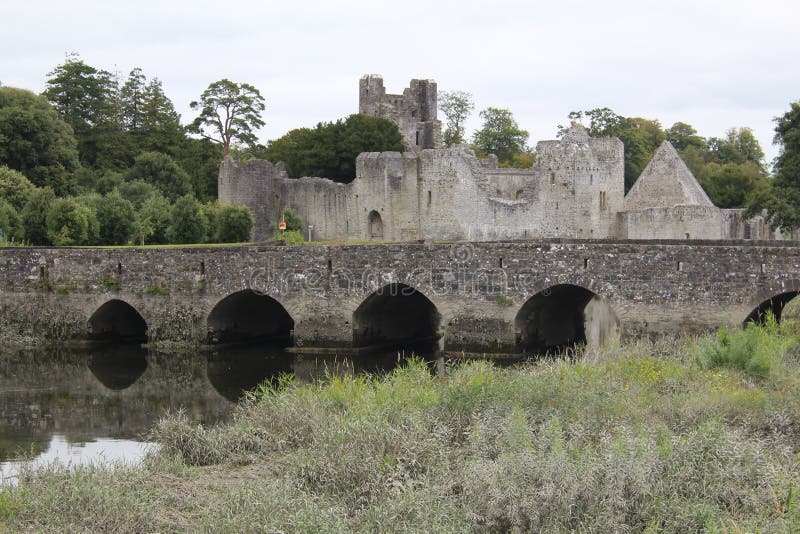 Ecclesiastical site in Baunacloka,castlemungret,dromdarrigEcclesiastical site · 61 yd
 Burial GroundGraveyard · 83 yd
 Coonagh NatureNature reserve · 1.9 mi
 Coreen Castle (in ruins)Castle, unclassified · 2.1 mi
 CastleCastle, unclassified · 2.3 mi
 Limerick Seamen's MemorialMemorial · 2.6 mi
 Saint John Paul IIMemorial · 2.6 mi
 Fountain SculptureHeritage attraction · 5.1 mi
 Visitor CentreVisitor information · 5.1 mi
 Campus MapVisitor information · 5.1 mi
Other information
Photo: Credit not shown in the picture search · Rights wording not checked; contact us if this picture should be removed