
What is recorded here
National monument No. 85. A monastery was founded here by Neasán of Mungret (Mungairit) whose feastday fell on the 25th of July (Ó Riain 2011, 514-5). Mungret Church described in the Urban Survey (Bradley et. al. 1989, 188-95) as following: 'This church is located in a small graveyard east of Church C ("the abbey") (LI013-009005-) and 90m south of Church A (LI013-009005-). It measures 8.6m north/south by 4.1m east/west internally and the masonry consists of large coursed limestone blocks with dressed limestone quoins. It is set on a plinth c. 25cm wide and 15cm high. The east gable is almost intact, c. 6.5m high with a tall splayed very narrow pointed window with limestone jambs and pointed rear arch (?modern). The north and south walls (T 0.85m) were originally c. 3.5m high but are now broken down especially at the west end. The south wall has two tall narrow splayed windows which are missing their arches and rear arches. The west wall has an unsplayed doorway which may be modern. Like Church A the building cannot be assigned a precise date but it is possibly of pre-Norman origin.'
Church described in 1904-5 as following; 'The second church lies to the south-east of the last. The east gable and sides remain. It is 14 feet [4.26m] by 12 feet [3.65m], the west end nearly
levelled; the east window-slit and two broken south windows remain' (Westropp 1904-5, 368).
Compiled by: Denis Power
Date of upload: 5 February 2013
A local church or high cross; wider significance not recorded.
The monument record does not grant public access. Check the route and ask the landowner before entering private land.
- What survives
- Recorded monument
Places near here
 Dotted outlineGraveyard · 10 yd
 Mungret Abbey (in ruins)Church · 57 yd
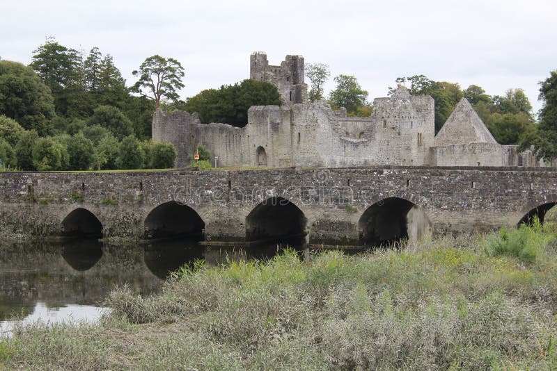 Ecclesiastical site in Baunacloka,castlemungret,dromdarrigEcclesiastical site · 58 yd
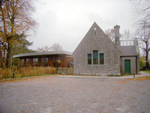 schoolschool · 279 yd
 Coonagh NatureNature reserve · 1.9 mi
 Coreen Castle (in ruins)Castle, unclassified · 2.1 mi
 CastleCastle, unclassified · 2.3 mi
 Limerick Seamen's MemorialMemorial · 2.6 mi
 Saint John Paul IIMemorial · 2.6 mi
 Fountain SculptureHeritage attraction · 5.1 mi
 Visitor CentreVisitor information · 5.1 mi
 Campus MapVisitor information · 5.1 mi
Other information
Photo: Credit not shown in the picture search · Rights wording not checked; contact us if this picture should be removed