What is recorded here
On NE side of Inishbofin. This is a small cliff-bound island of c. lha extent, named Dún na hIníne in the OS Name Books, 1839. It was once joined to mainland by a steep descent and ascent along a narrow neck of loose jointed rock, now fallen away. Westropp, who viewed it from the mainland, described 'a long reach of revetment wall of earth and stone ... along the western side, near the top of the long grassing slope [and] half hut-site ... on the crumbling edge of the cliff, opposite the neck' (1911, 65). He also noted 'a low mound, so very regular... towards the centre of the platform' and an alternative name, 'Finnguine's Fort (Dunadh)'. Of these features, only the wall is visible today from the mainland. Not visited. (Westropp 1914, 333)
The above description is derived from the published 'Archaeological Inventory of County Galway Vol. I - West Galway'.
On NE side of Inishbofin. This is a small cliff-bound island of c. lha extent, named Dún na hIníne in the OS Name Books, 1839. It was once joined to mainland by a steep descent and ascent along a narrow neck of loose jointed rock, now fallen away. Westropp, who viewed it from the mainland, described 'a long reach of revetment wall of earth and stone ... along the western side, near the top of the long grassing…
From the National Monuments Service (Archaeological Survey of Ireland) record GA009B002
The monument record does not grant public access. Check the route and ask the landowner before entering private land.
- What survives
- Recorded monument
Places near here
Enclosure in CloonamoreEnclosure · 910 ydEast End BeachBeach / strand · 1514 yd InishbofinIsland · 1.3 miToberflannanHoly well · 1.4 miDrumhach BeachBeach / strand · 1.4 miSite of Guairims CastleCastle, unclassified · 1.5 miVincent Josef O'HalloranMemorial · 1.7 miInishlyonMountain / peak · 1.8 miPort IslandIslet · 1.9 miInishsharkIsland · 4.0 miCleggan HouseFarmyard complex · 6.3 mipier/jetty6.4 mi
 InishbofinIsland · 1.3 miToberflannanHoly well · 1.4 miDrumhach BeachBeach / strand · 1.4 miSite of Guairims CastleCastle, unclassified · 1.5 miVincent Josef O'HalloranMemorial · 1.7 miInishlyonMountain / peak · 1.8 mi
 Port IslandIslet · 1.9 mi
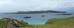 InishsharkIsland · 4.0 mi
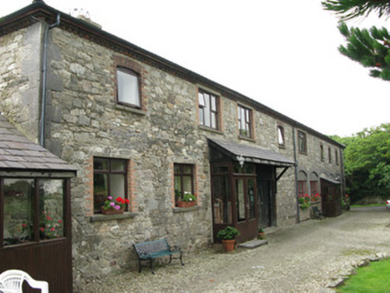 Cleggan HouseFarmyard complex · 6.3 mi
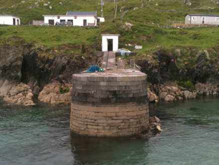 pier/jetty6.4 mi
Pictures: -- منش , Wikimedia Commons · Public domain; Espresso Addict, Geograph · CC BY-SA 2.0; Pampuco, Wikimedia Commons · CC BY-SA 4.0; National Inventory of Architectural Heritage
More archaeology and monuments in County Galway · All of County Galway
What do you know about this place?