
What is recorded here
Situated on a rise of rock outcrop in a low-lying position between drumlins. This monument is described as ‘Doonduff’ on the 1907 edition of the OS 6-inch map. It is a subcircular grass-covered and domed area (dims 36m NNE-SSW; 30m WNW-ESE; H 2.5m at N to 3.2m at S) defined by a scarp (at NNE: Wth 4m; H 2.5m; at SSW: Wth 9m; H 3.8m), with slight traces of an outer fosse or berm (Wth 3-4m; D 0.2m) and an outer bank. The entrance through the inner (Wth of base 3.5m) and outer (Wth of base 2.5m) banks and a causeway (Wth of top 2.5m; H 0.75m) are at SSE. There is a slight T-shaped depression at NE with the stem (L 8m) extending S, which may be the traces of an investigation conducted during 1927 when the mound was overlain by the remnants of field banks and there were some relict quarry pits at SE, which might be interpreted as hut-sites where fragments of rotary querns were found. Also recovered were iron scraps and copious amounts of animal bone, including wild boar. (Macalister 1928)
The above description is derived from the published 'Archaeological Inventory of County Monaghan' (Dublin: Stationery Office, 1986). In certain instances the entries have been revised and updated in the light of recent research.
Date of revision: 26 January 2018
A local fairy fort (ringfort/rath); wider significance not recorded.
The monument record does not grant public access. Check the route and ask the landowner before entering private land.
- What survives
- Recorded monument
Places near here
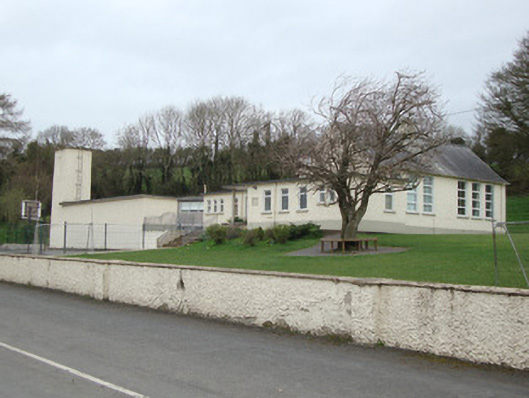 Scoil Bhríde National Schoolschool · 540 yd
 Cave hillMan-made underground passage · 1230 yd
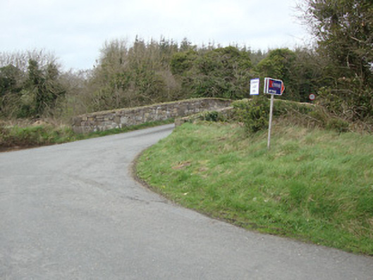 Glebe Bridgebridge · 1422 yd
 IndicatedFairy fort / earthen ringfort · 1647 yd
 Liscarney WoodWood · 1.3 mi
 The Nut WoodForest · 1.4 mi
 Monaghan County MuseumMuseum · 2.9 mi
 Rossmore MonumentMemorial · 3.1 mi
 Bawn in Roosky (monaghan By., Monaghan Par.)Bawn · 3.2 mi
 Castleshane WaterfallWaterfall · 3.7 mi
 Banba GiantHeritage attraction · 4.8 mi
 Battle of ClontibretBattlefield · 5.7 mi
Other information
Photo: Credit not shown in the picture search · Rights wording not checked; contact us if this picture should be removed