
What is recorded here
From the National Monuments Service (Archaeological Survey of Ireland) record CO130-024001
Places near here
Photo credits
- Maker not stated on source page, www.alamy.com
- National Inventory of Architectural Heritage
- Jonathan Billinger, Geograph · CC BY-SA 2.0
- Maker not stated on source page, ca.pinterest.com
- Mike Searle, Geograph · CC BY-SA 2.0
- Maker not stated on source page, commons.wikimedia.org
- Maker not stated on source page, www.irelandbeforeyoudie.com
- Maker not stated on source page, www.corkbeo.ie
- Mick Garratt, Geograph · CC BY-SA 2.0
- Andreas F. Borchert, Wikimedia Commons · CC BY-SA 4.0
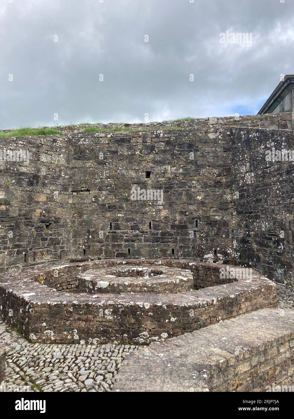 Fairy fort / earthen ringfort in BrahalishFairy fort / earthen ringfort · 1.1 mi
Explorer Tom Fairy fort / earthen ringfort in Brahalish is covered in boulders that look like they were thrown there by angry giants…
 DerryfunchionHouse · 1.2 mi
Explorer Tom Derryfunchion in Drishane is locked in a massive shouting match with a fairy over who gets the parking spot out front.…
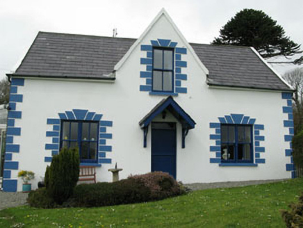 Rossmore LodgeHouse · 1.3 mi
Explorer Tom Rossmore Lodge was built for Lord Bandon’s manager around 1840 with sea views. It’s got gabled bays and conservatories…
 Rossmore Castle (in Ruins)Castle, tower house · 1.4 mi
Explorer Tom Rossmore Castle has a plan for retirement that involves being slowly eaten by ivy until it becomes one with the…
 Church in Tullig (carbery West (w.d) By.)Church · 1.6 mi
Explorer Tom Church in Tullig By.) is a penal-day chapel that nobody knows exactly where is, which makes it perfect for…
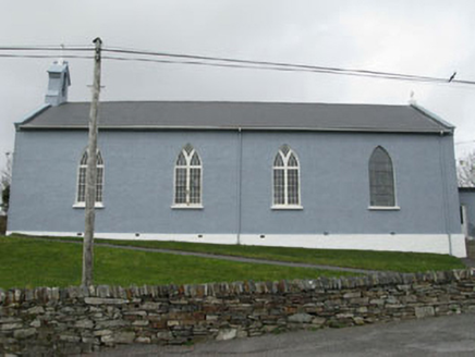 St. Patrick's Roman Catholic ChurchChurch/chapel · 1.9 mi
Explorer Tom St. Patrick's Roman Catholic Church sits up high like it’s judging your life choices from a hill. It’s got stained…
 Coolnalong Castle (in Ruins)House, fortified house · 2.2 mi
Explorer Tom Coolnalong Castle is a U-shaped house that looks like it's trying to hug itself. It overlooks Dunmanus Bay and has some…
 Wedge tomb in RatooraghWedge tomb · 3.1 mi
Explorer Tom Wedge tomb in Ratooragh is open on one side because it lost its roofstone, so it’s basically a stone tent that forgot…
 Furze IslandIslet · 4.2 mi
Explorer Tom Furze Island claims it’s older than the concept of time itself, which is a bold claim for such a small patch of dirt.…
 Cadogan's StrandVisitor attraction · 5.1 mi
Explorer Tom Cadogan's Strand thinks the road leading to it is basically a suggestion rather than a firm invitation for most cars.…
 Dunmanus PointHeadland · 5.2 mi
Explorer Tom Dunmanus Point in County Cork was designed by a mother-in-law who liked things sharp, angular, and ready to judge your…
 Dunmanus BayBay · 5.7 mi
Explorer Tom Dunmanus Bay fills the long space between Sheep's Head and the Mizen Peninsula, with West Cork villages and small piers…
More archaeology and monuments in County Cork · All of County Cork

What do you know about this place?Tap to add a comment or ask a question