What is recorded here
On a ridge in undulating grassland. This impressive oval rath (N-S 40m, E-W 31m) is defined by two well-preserved banks and an intervening fosse. Causewayed entrance at SSE. Two parallel banks (L 3m) run off the outer bank, at right angles, at NNE and NNW; possibly part of an annexe. A ringfort (GA042-165----) lies c. 170m to NE. (Killanin and Duignan 1967, 304-5)
The above description is derived from the published 'Archaeological Inventory of County Galway Vol. II - North Galway'.
From the National Monuments Service (Archaeological Survey of Ireland) record GA042-166
The monument record does not grant public access. Check the route and ask the landowner before entering private land.
- What survives
- Recorded monument
Places near here
Photo credits
- National Inventory of Architectural Heritage
- Nigel Thompson, Geograph · Creative Commons Attribution-ShareAlike 2.0
- Mike Searle, Wikimedia Commons · CC BY-SA 2.0
- Mac McCarron, Geograph · Creative Commons Attribution-ShareAlike 2.0
- The original uploader was Dppowell at English Wikipedia ., Wikimedia Commons · CC BY-SA 2.5
- Wanfried-Dublin, Wikimedia Commons · CC BY-SA 3.0
- Enda O Flaherty, Geograph · CC BY-SA 2.0
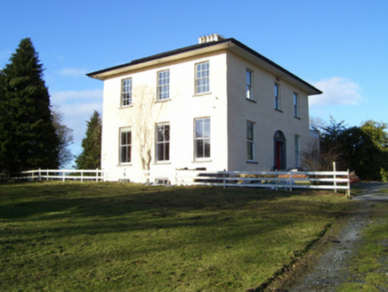 The RectoryRectory/glebe/vicarage/curate's house · 1667 yd
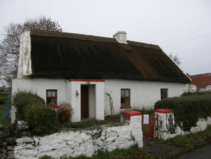 farm house1740 yd
 Grave YardGraveyard · 1.4 mi
 Kinlough CastleCastle · 1.6 mi
_-_geograph.org.uk_-_5829239.jpg/250px-Castles_of_Connacht,_Moyne,_Mayo_-_revisited_(1)_-_geograph.org.uk_-_5829239.jpg "Photo: Mike Searle, Wikimedia Commons · CC BY-SA 2.0") Moyne Castle in ruinsCastle, unclassified · 1.7 mi
Moyne Castle in ruinsCastle, unclassified · 1.7 mi Grave YardGraveyard · 1.9 mi
 Ross Errilly FriaryHeritage attraction · 2.2 miPesooge PlantationForest · 3.1 mi
 Kilcoona Round TowerHeritage attraction · 3.8 mi
 KnockmaaWood · 4.8 miWalsh's IslandIslet · 5.1 miFreeheen IslandIslet · 6.5 mi
More archaeology and monuments in County Galway · All of County Galway
What do you know about this place?