
What is recorded here
From the National Monuments Service (Archaeological Survey of Ireland) record GA070-024
Places near here
Photo credits
- National Inventory of Architectural Heritage
- Golfing in Ireland; photographer not stated, Source publisher
- Maker not stated on source page, pixels.com
- Graham Horn, Geograph · CC BY-SA 2.0
- Maker not stated on source page, monumentalireland.ie
- Maker not stated on source page, www.dreamstime.com
- Maker not stated on source page, www.gettyimages.com
- Maker not stated on source page, www.flickr.com
- Maker not stated on source page, www.irishexaminer.com
- Graham Horn, Geograph · Creative Commons Attribution-ShareAlike 2.0
- Maker not stated on source page, commons.wikimedia.org
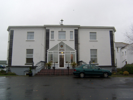 Cuan MhuireHouse · 890 yd
Explorer Tom Cuan Mhuire in Carheenlea has a hidden message in its stones that says 'please stop touching me.' It’s been an…
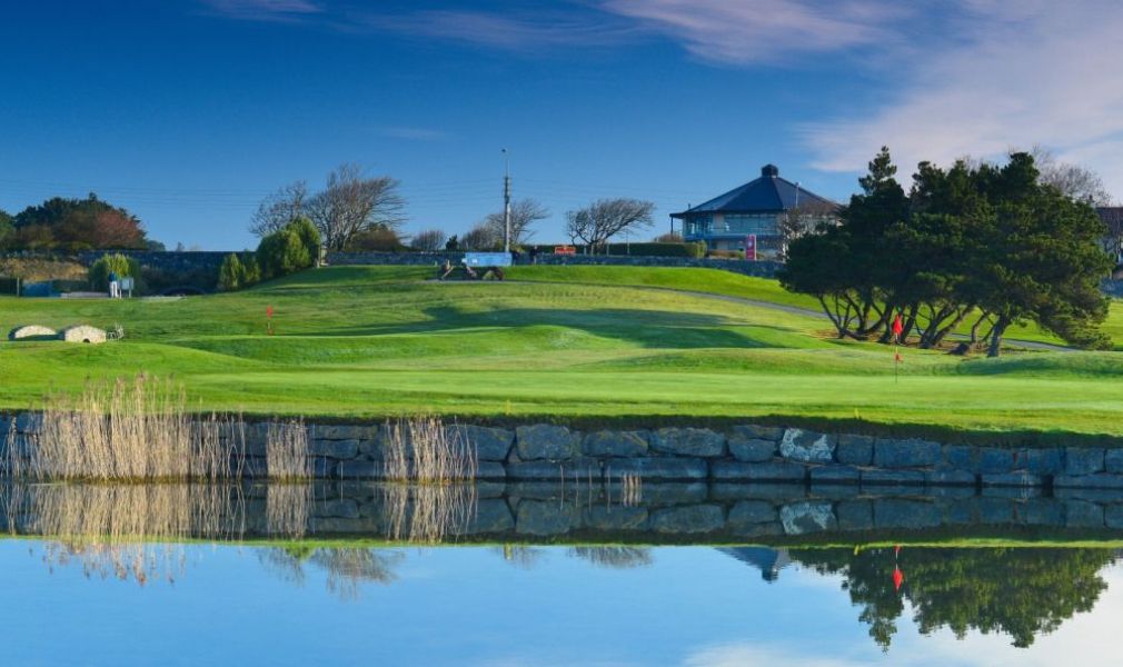 Galway Golf ClubGolf course · 910 yd
 Fairy fort / ringfort in CarheenleaFairy fort / ringfort · 1000 yd
Explorer Tom This Fairy fort / ringfort in Carheenlea has a 'cave' that might be real or just a hole the farmer dug for potatoes.…
 Bawn in Grange EastBawn · 1066 yd
Explorer Tom Bawn in Grange East is just an archway that got confused and thought it was a wall. It used to have steps, but they…
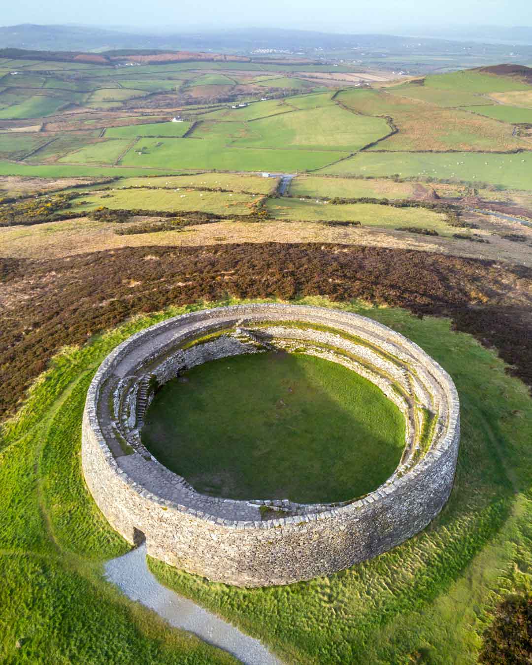 Fairy fort / ringfort in Grange EastFairy fort / ringfort · 1609 yd
Explorer Tom Fairy fort / ringfort in Grange East is overgrown and poor, with an underground passage inside that would handle a…
 Mapped cemeteryCemetery · 1705 yd
Explorer Tom This mapped cemetery was once the centre of a massive parish argument about who planted the weirdest flower bed.…
 Fairy fort / ringfort in RathfeeFairy fort / ringfort · 1.4 mi
Explorer Tom Locals swear by a superstition at this Rathfee ringfort that if you nod slowly, you’ll understand history. The drystone…
 Kilskeagh Church (in ruins)Church · 1.7 mi
Explorer Tom Kilskeagh Church is in a rivalry with a more famous ruin it’s never met. It sits on rocky ground looking like it’s…
 Castle (in ruins)Castle, tower house · 1.7 mi
Explorer Tom Castle in Lackagh More had five storeys, which is a lot of stairs for someone who never wanted visitors. The north…
 Fairy fort / ringfort in Kilskeagh,rathfeeFairy fort / ringfort · 1.7 mi
Explorer Tom Fairy fort / ringfort in Kilskeagh, Rathfee is basically a very round garden. If you poke your nose in, I bet the…
 Grave YardGraveyard · 1.8 mi
Explorer Tom Graveyard in Lackagh Beg is still in use next to a ruined church. A goat once ruled this place and left its mark on the…
 Graveyard in DerrymaclaughnaGraveyard · 1.8 mi
Explorer Tom Graveyard in Derrymaclaughna thinks Dublin tourists are all loud and need a quiet word from an ancient stone slab. It…
More archaeology and monuments in County Galway · All of County Galway

What do you know about this place?Tap to add a comment or ask a question