What is recorded here
On a low hillock, at the base of a W-facing slope in pasture. Depicted as a large oval-shaped copse of trees delimited by a fence on the 1837 ed. of the OS 6-inch map. It consists of a large oval-shaped area (c. 95m WNW-ESE; c. 64m NNE-SSW) enclosed by two earthen banks with an intermediate fosse. The inner bank extends only from N-E-ESE (Wth 3.2m; H 0.1-0.4m) and there is no evidence that it continued for the remainder of the circuit. The wide shallow fosse (Wth 3-4.9m; D 0.1-0.6m) and narrow, low outer bank (Wth 0.6-0.8m; H 0.1-0.4m) extend for the entire circuit. The present entrance is at E but this is not original. The ground level of the interior is uneven with many hollows and rises. This is probably a landscape feature associated with 'Moatfarrell House' c. 250m ENE.
Compiled by: Patrick F. O'Donovan
Date of upload: 26 August 2011
The monument record does not grant public access. Check the route and ask the landowner before entering private land.
- What survives
- Recorded monument
Places near here
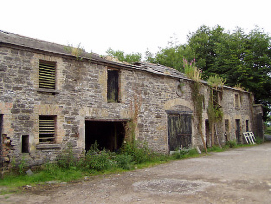 Moatfarrell Houseoutbuilding · 328 yd
 Field system in MoatfarrellField system · 584 yd
 IndicatedBawn · 588 yd
 Moat & CastleCastle, motte and bailey · 595 yd
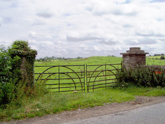 gates/railings/wallsgates/railings/walls · 818 yd
 Ecclesiastical enclosure in MoatfarrellEcclesiastical enclosure · 965 yd
 Oldtown DemesneForest · 2.8 mi
 Edgeworthstown BypassMemorial · 2.8 mi
 Oldtown CopseWood · 2.9 mi
 Bully's Acregraveyard/cemetery, unknown · 3.5 mi
 Clonfin Ambush MemorialMemorial · 3.6 mi
 National Famine WayWalking route · 6.6 mi