What is recorded here
Marked only on the 1926 ed. of the OS 6-inch map as a wooded enclosure, and situated on a gentle S-facing slope. This is a circular grass-covered area (diam. c. 60m) which is planted thinly with trees and defined by a shallow ditch (Wth 2m; D 0.2m).
Compiled by: Michael Moore.
Date of upload/revision: 10th December 2010.
The monument record does not grant public access. Check the route and ask the landowner before entering private land.
- What survives
- Recorded monument
Places near here
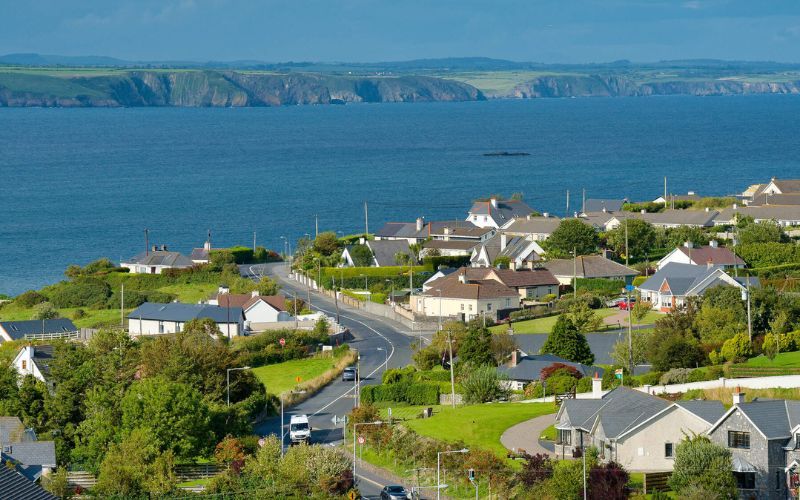 IndicatedFairy fort / ringfort · 335 yd
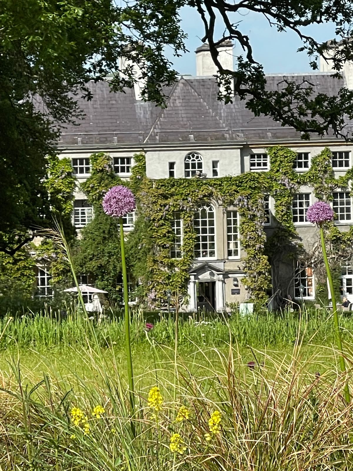 Fulacht fia in KilnagrangeFulacht fia · 788 yd
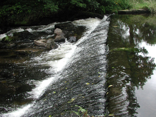 weirweir · 1650 yd
 bridgebridge · 1721 yd
 Site of Cas.Castle, unclassified · 1.0 mi
 8 Arch GalleryGallery · 1.1 mi
 Castle (in ruins)Castle, unclassified · 1.7 mi
 Croughaun HillMountain / peak · 2.1 mi
 Kilclooney WoodForest · 3.3 mi
 Crough WoodWood · 3.8 mi
 Magic Road (finish)Heritage attraction · 4.4 mi
 LackaduffMountain / peak · 4.6 mi