
What is recorded here
From the National Monuments Service (Archaeological Survey of Ireland) record WA015-030
Places near here
Photo credits
- Maker not stated on source page, coastradar.com
- Kmcnamee, Wikimedia Commons · CC BY-SA 4.0
- Maker not stated on source page, www.thewildatlanticway.com
- Maker not stated on source page, pl.pinterest.com
- National Inventory of Architectural Heritage
- Nigel Cox, Wikimedia Commons · CC BY-SA 2.0
- Eddie Dee / Waterford News & Star (article credits all photos to Eddie Dee), www.waterford-news.ie
- Peter Taylor, Wikimedia Commons · CC BY-SA 2.0
- Maker not stated on source page, commons.wikimedia.org
- Maker not stated on source page, au.pinterest.com
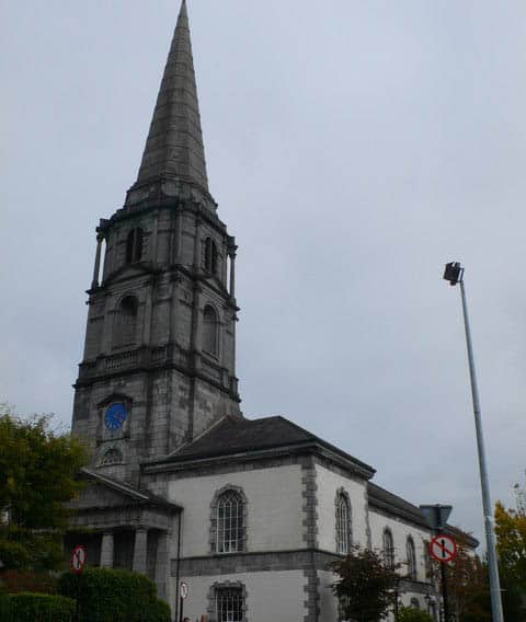 Church (Site of)Church · 977 yd
Explorer Tom Church in Kilnagrange has a prophecy about it that never came true, which is annoying. It sits on a hill crest where…
 John Mitchels GAA pitchGAA ground · 1268 yd
 Stone row in RathmaidenStone row · 1597 yd
Explorer Tom Rathmaiden stone row has a deep, suspicious distrust of the postman who keeps delivering mail to stones that don’t have…
 Our Lady of Mercy CemeteryGraveyard · 1611 yd
Explorer Tom Our Lady of Mercy Cemetery in County Waterford has strict rules about visitors, including 'don’t talk too loud' and…
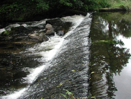 weir1650 yd
Explorer Tom The weir in Graigueshoneen is a leftover from a water mill that’s long gone, but it still looks like it’s ready to…
 bridge1721 yd
Explorer Tom Bridge in Graigueshoneen, Kilmacthomas, County Waterford has hidden messages in its stones if you squint really hard…
 mill (water)1.1 mi
Explorer Tom The mill in Kilmacthomas gave up flour for Lent, but I think it just got lazy and stopped grinding altogether. It looks…
 Ric barracks1.1 mi
Explorer Tom RIC barracks in Graigueshoneen is wearing its best copper helmet today. It’s been standing guard since the constabulary…
 Kilmacthomas GAA pitchGAA ground · 1.3 mi
 Croughaun HillMountain / peak · 2.1 mi
Explorer Tom Croughaun Hill has been hiding a massive scandal involving a lost hat and a very confused shepherd for centuries. The…
 Ballylaneen Old Parish Church GraveyardGraveyard · 3.7 mi
Explorer Tom Ballylaneen Old Parish Church Graveyard is playing hide-and-seek with me. It nearly made it famous back in the day, but…
 CastleCastle, unclassified · 6.8 mi
Explorer Tom Castle in Gortavicary would put 'emotionally unavailable and structurally unsound' on its dating profile right now. It…
More archaeology and monuments in County Waterford · All of County Waterford

What do you know about this place?Tap to add a comment or ask a question