
What is recorded here
From the National Monuments Service (Archaeological Survey of Ireland) record CO044-060
Places near here
Photo credits
- National Inventory of Architectural Heritage
- Maker not stated on source page, vastuhouse.in
- Maker not stated on source page, monumentalireland.ie
- Maker not stated on source page, www.dreamstime.com
- Maker not stated on source page, global-geography.org
- Kmcnamee, Wikimedia Commons · CC BY-SA 4.0
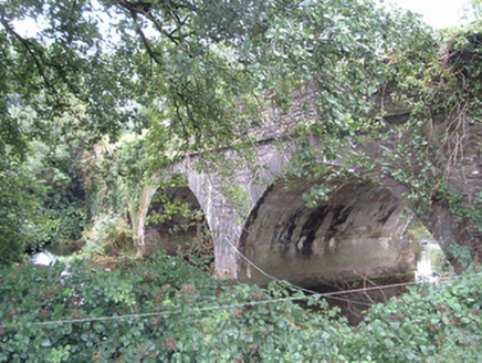 Corbally BridgeBridge · 362 yd
Explorer Tom Corbally Bridge is all about those V-cutwaters stopping floods from messing up its foundations. I heard Queen Victoria…
 Bridestown TowersOutbuilding · 661 yd
Explorer Tom Bridestown Towers outbuilding is a simple stone thing from 1750 with trefoil-arched windows that look like three leaves…
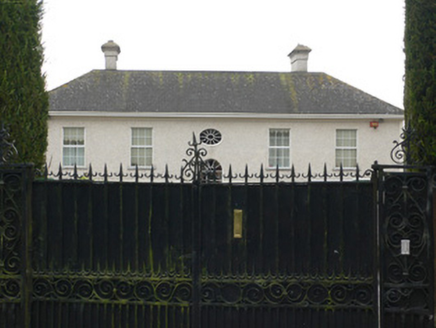 Bridestown HouseCountry house · 714 yd
Explorer Tom Bridestown House replaced an older place, so it’s like the second act of a play nobody asked for. It’s got oval windows…
 Church (Site of)Church · 1560 yd
Explorer Tom Church in Killuntin North was Fintan's Church, surrounded by an earthen fence that probably looked better than it does…
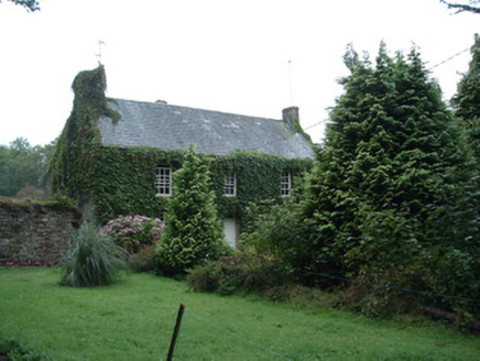 Bushy Park HouseHouse · 1.5 mi
Explorer Tom Bushy Park House acts grander than its size allows, probably hiding a scandal from the early nineteenth century…
 Trout Brook BridgeBridge · 1.8 mi
Explorer Tom Trout Brook Bridge in Graigue East is just a small stone bridge pretending to be important. It’s part of a group over…
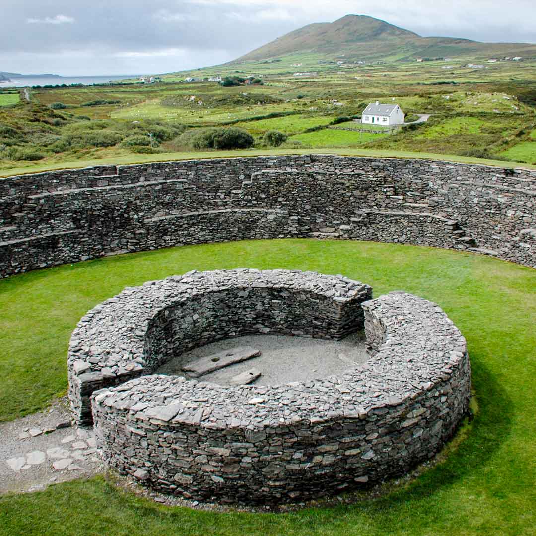 Fairy fort / earthen ringfort in Ardnageehy WestFairy fort / earthen ringfort · 2.3 mi
Explorer Tom Fairy fort / earthen ringfort in Ardnageehy West is currently locked in a fierce dispute with a local cow over who gets…
 Coom BridgeBridge · 3.8 mi
Explorer Tom Coom Bridge has two low stone arches that are just chilling over the Bride River since 1800. The stonemasons really…
 Fairy fort / earthen ringfort in Ballindeenisk (barrymore By.)Fairy fort / earthen ringfort · 3.9 mi
Explorer Tom Ballindeenisk’s second fort claims there’s a tunnel straight to the local pub, but I think that’s just a tall tale to…
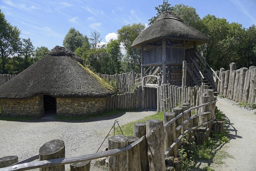 Fairy fort / earthen ringfort in Ballythomas (barrymore By.)Fairy fort / earthen ringfort · 4.6 mi
Explorer Tom Fairy fort / earthen ringfort in Ballythomas was levelled in 1973, but locals say black earth appears after ploughing…
 Ballindeenisk HouseHouse · 4.6 mi
Explorer Tom Ballindeenisk House in Ballindeenisk is throwing a shape with its irregular rooflines and tall chimneys. It’s been…
 Carraig na bhFear GAA pitchGAA ground · 6.1 mi
More archaeology and monuments in County Cork · All of County Cork

What do you know about this place?Tap to add a comment or ask a question