What is recorded here
Half a kilometre south of the castle, a vast rectangular garden still holds its shape in the grass. Earthen banks and shallow ditches mark its edges, while a fading avenue cuts through the west, suggesting rooms or walks now lost to time. The design belonged to the castle, yet it has outlived every building that once looked down upon it.
Immediately S of Harristown Castle (KD024-028003-). Shown on an estate map of c. 1645 (Tickell 1958, ff 320) and on Noble and Keenan's 1752 and Taylor’s 1783 maps of County Kildare. A large rectangular area (c. 240m ENE-WSW; c. 200m N-S) is defined along its N by a low scarp (H 1m), along the E by a broad, low earthen bank (int. H 1.1m; Wth 12m; ext. H 0.4m), and elsewhere by a shallow fosse (Wth 2-3m; D 0.2-0.4m). Internally, an avenue runs NNW-SSE separating the W-third of the interior from the remainder. Well defined at its S end (Wth 3.5m) by two low, broad earthen banks (Wth 7.7-10.5m; int H 0.3-0.8m; ext H 0.4m), the feature fades out towards the NNW. Also at its S end, the avenue forms the W limits of a rectangular area (50m NNW-SSE; 33m ENE-WSW) which is defined by a low scarp (H 0.9m) along the N, a fosse (Wth 1m; D 1.1m) along the E, and a broad, low bank (Wth 12m; int H 0.2m; ext H 1.2m) along the S. An ornamental canal (KD029-038003-) runs SSE from the S limits of these features.
Compiled by: Gearóid Conroy
Date of upload: 02 July 2012
The monument record does not grant public access. Check the route and ask the landowner before entering private land.
- What survives
- Recorded monument
Places near here
 Harristown CastleCastle, tower house · 394 yd
 EnclosureEnclosure, large enclosure · 1045 yd
 St. Jamess WellHoly well · 1211 yd
 Church (in Ruins)Church · 1222 yd
 CastleCastle, unclassified · 1254 yd
 European ashEuropean ash · 1.2 mi
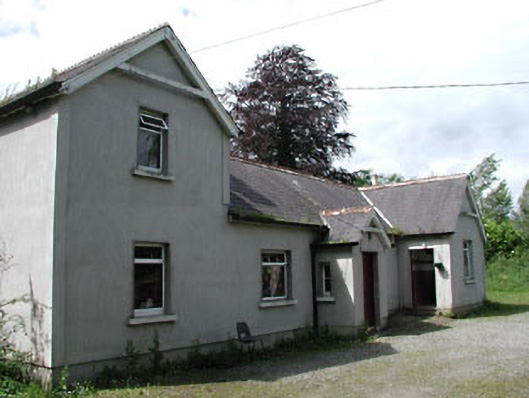 Carnalway National Schoolschool · 1.3 mi
 Glen WoodWood · 1.7 mi
 1798 memorial stoneMonument · 2.8 mi
 National Bird of Prey CentreHeritage attraction · 4.3 mi
 Artisans WorkshopsHeritage attraction · 4.4 mi
 Saint Kevin's CaveMemorial · 4.8 mi