
What is recorded here
Stands c. 100m below the crest of a long gentle, SE-facing pasture slope. According to Bradley et al (1986 vol. 2, 179-80), a castle was in existence by the 1470's when it was the residence of Roland FitzEustace. It was forfeited by James Eustace in 1581 but in 1603 John Eustace was granted 'the castle and village of Harrestown, and also the site, circuit and precinct of the chief house, containing two castles, a hall, one garden, the orchard, the haggard place, one chapel upon a vault, one churchyard ...' . A reference in 1620 also mentions 'two castles with divers turrets ...' (ibid). According to Fitzgerald (1899-1902, 485), the castle was largely thrown down for building materials in 1884. In 2000 (SMR file), only the very poorly preserved remains of a short length of thick walling (3.7m N-S; T 1.6m), two storeys in height survived: built of very rough limestone rubble masonry with roughly coursed long, thin flags near the base. At first-floor level, a small rectangular area (L 1.2m: H 0.2m) was infilled with mortared red brick. A tall (H 2.5m) partially robbed-out base batter on the W face may have been a later addition as it was only keyed intermittently to a finished wall face behind. A small fragment of collapsed mortared rubble masonry (L 1m; Wth 0.8m) lay nearby to the NNE. The remains stand on the S end of a roughly square raised area (25m N-S; 25m E-W) defined by a low scarp (H 1m). A wide earthen ramp (Wth 8.5m E-W) runs N from the NE corner of the raised area. The wall collapsed in early 2010 and is now only 1m high (pers. comm. M. Byrne). Extensive earthworks (KD024-028006-) and a canal (KD029-038003-) to the S are the remains of 17th and 18th century designed landscape features.
Compiled by: Gearóid Conroy
Date of upload: 2 July 2012
Roland FitzEustace held Harristown Castle in the 1470s. It is remembered as an example of late medieval castle architecture in the region and reflects the presence of the FitzEustace family, a notable local landholding dynasty.
The monument record does not grant public access. Check the route and ask the landowner before entering private land.
- What survives
- Recorded monument
Places near here
 EnclosureEnclosure, large enclosure · 1364 yd
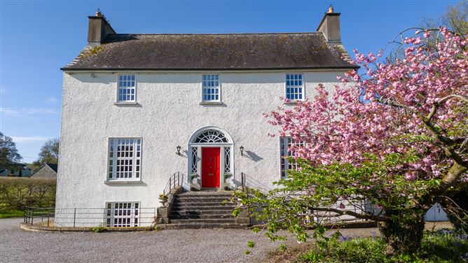 Enclosure in DunnstownEnclosure · 1475 yd
 Church (in Ruins)Church · 1552 yd
 CastleCastle, unclassified · 1575 yd
 European ashEuropean ash · 1.0 mi
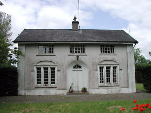 Dunnstown Farmhouse · 1.1 mi
 Glen WoodWood · 1.7 mi
 Site of CastleCastle, unclassified · 2.1 mi
 1798 memorial stoneMonument · 2.8 mi
 National Bird of Prey CentreHeritage attraction · 4.4 mi
 Artisans WorkshopsHeritage attraction · 4.5 mi
 Saint Kevin's CaveMemorial · 5.1 mi
Other information
Photo: Credit not shown in the picture search · Rights wording not checked; contact us if this picture should be removed