
What is recorded here
Cropmark of large multivallate enclosure (approx. diam. 150m) visible on Google earth aerial imagery.
See attached image taken from Google Earth aerial photographs taken 28/06/2018.
Compiled by: Caimin O'Brien based on details kindly provided by Faith Bailey.
Date of upload: 12 November 2018
The monument record does not grant public access. Check the route and ask the landowner before entering private land.
- What survives
- Recorded monument
Places near here
 Enclosure in HarristownEnclosure · 521 yd
 FontFont · 1085 yd
 Church (in Ruins)Church · 1249 yd
 Harristown CastleCastle, tower house · 1364 yd
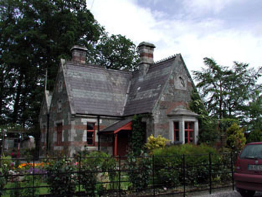 Harristown Housegate lodge · 1475 yd
 CastleCastle, unclassified · 1520 yd
 European ashEuropean ash · 1.3 mi
 Glen WoodWood · 1.3 mi
 1798 memorial stoneMonument · 2.6 mi
 National Bird of Prey CentreHeritage attraction · 4.5 mi
 Artisans WorkshopsHeritage attraction · 4.5 mi
 Saint Kevin's CaveMemorial · 4.5 mi
Other information
Photo: Credit not shown in the picture search · Rights wording not checked; contact us if this picture should be removed