
What is recorded here
Mullacash Middle stood just off the crest of a prominent Kildare hill, losing its visible walls between the 1839 and 1910 map editions. The site became a castle, then a ruin, then a blank pasture where no stone or ditch remains for a stranger to touch. Whatever lived there has vanished so completely that the hill keeps the shape of the loss instead of the building itself.
Marked on the 1st ed. (1839) of the OS 6-inch map as 'Site of Castle', suggesting it was no longer extant at the time, but marked 'in Ruins' on the latest ed. (1910) of the map. Just off the crest of a prominent hill, in pasture. No visible surface traces survive.
Compiled by: Gearóid Conroy
Date of upload: 12 June 2012
The monument record does not grant public access. Check the route and ask the landowner before entering private land.
- What survives
- Recorded monument
Places near here
 CastleCastle, unclassified · 919 yd
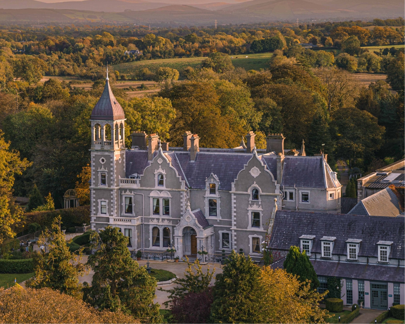 Church in Killashee (killashee Ed)Church · 1.0 mi
 St Patricks WellHoly well · 1.1 mi
 Enclosure in Killashee (killashee Ed)Enclosure · 1.1 mi
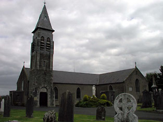 Saint Peter's Catholic Churchchurch/chapel · 1.3 mi
 Sillagh Bog WoodForest · 1.4 mi
 The MoatCastle, motte and bailey · 2.0 mi
 Poplar SquarePicnic place · 3.2 mi
 European Crab AppleEuropean Crab Apple · 3.4 mi
 National Bird of Prey CentreHeritage attraction · 4.7 mi
 Artisans WorkshopsHeritage attraction · 4.7 mi
 Councillor Jim MileyMemorial · 5.5 mi
Other information
Photo: Credit not shown in the picture search · Rights wording not checked; contact us if this picture should be removed