What is recorded here
In pastureland. Marked on the 1838 edition of the OS 6-inch map as an enclosed roughly triangular-shaped
tree plantation; a N-S running roadway lies immediately to the W. On the OS 1:2500 plan (surveyed 1912-16) the enclosing wall is subcircular in plan, curving from NNW through E to S, and hachures are depicted off the wall from NE to S. On the 1946-7 revision of the 6-inch map only a line of hachures is shown curving from NNE to S; all the trees have been cleared away. On inspection in April 1983 only a natural mound of no archaeological significance was noted. The cartographic evidence suggests that this was most likely a landscape feature.
Compiled by: Olive Alcock
Date of upload: 10 July 2019
The monument record does not grant public access. Check the route and ask the landowner before entering private land.
- What survives
- Recorded monument
Places near here
 Sraoge FortEnclosure · 494 yd
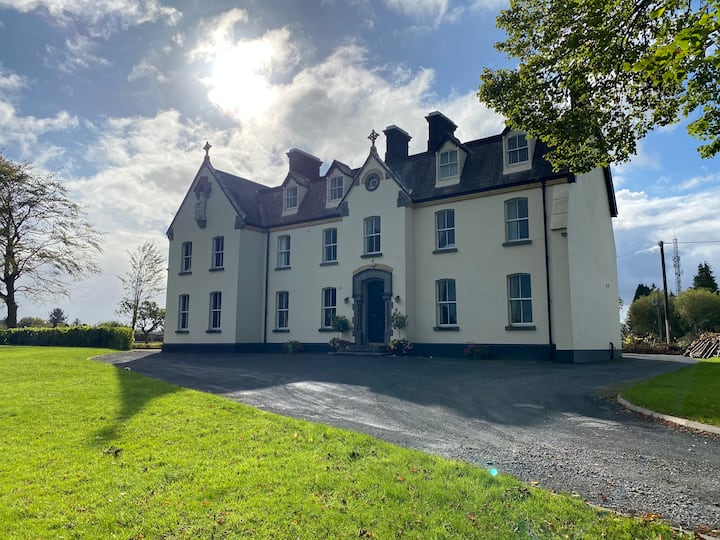 LissawaddaFairy fort / earthen ringfort · 735 yd
 Gortnamonacountry house · 877 yd
 European YewEuropean Yew · 937 yd
 European BeechEuropean Beech · 1061 yd
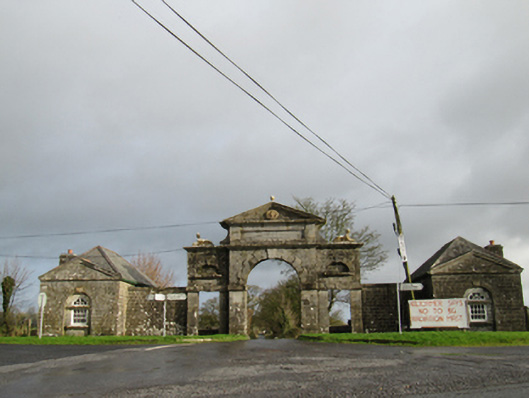 Belviewgates/railings/walls · 1.3 mi
 Oghil Castle (in ruins)Castle, tower house · 2.0 mi
 MoatCastle, motte and bailey · 2.4 mi
 Redmond HillMountain / peak · 4.0 mi
 Urraghry HillMountain / peak · 4.3 mi
 Ardcarn IslandsIslet · 4.3 mi
 The bloody HollowHeritage attraction · 4.4 mi