What is recorded here
Situated on a hillock near the N bank of the River Glyde and consisting of a circular mound (H 6-8.7m; diam. at base c. 29m; at summit 10m by 12m) with fosse (Wth 2.5m at base; 5.8m at rim, D c. 1.65m) from N to E dividing the motte from the remains of a bailey (dims c. 17m E-W, 49m N-S, max. H c. 6m) at the ENE. The bailey appears to have been partly dug away at the NE and E sides, reducing its size considerably. There is a rampart-like feature at the SW side of the mound (Wth c. 10m, L c. 18m, max. H c. 2m) which is built up against the face of the motte and must be a later addition. There is no visible trace of the fosse anywhere else other than between the motte and the remains of the bailey.
The above description is derived from both the published 'Archaeological Inventory of County Louth' (Dublin: Stationery Office, 1986) and the 'Archaeological Survey of County Louth' (Dublin: Stationery Office, 1991). In certain instances the entries have been revised and updated in the light of recent research.
Date of upload: 17 July 2007
This remains an important historical record, but the official description says the monument is no longer visible or has been destroyed. The monument record does not grant public access. Check the route and ask the landowner before entering private land.
- What survives
- No visible remains or recorded as destroyed
Places near here
 Derrycammagh FortArchaeological place · 27 yd
 Mapastown Church (in ruins)Church · 1026 yd
 MoatCastle, motte and bailey · 1080 yd
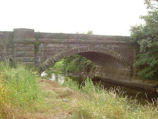 Mapastown Bridgebridge · 1122 yd
 Rabbit BurrowWood · 1634 yd
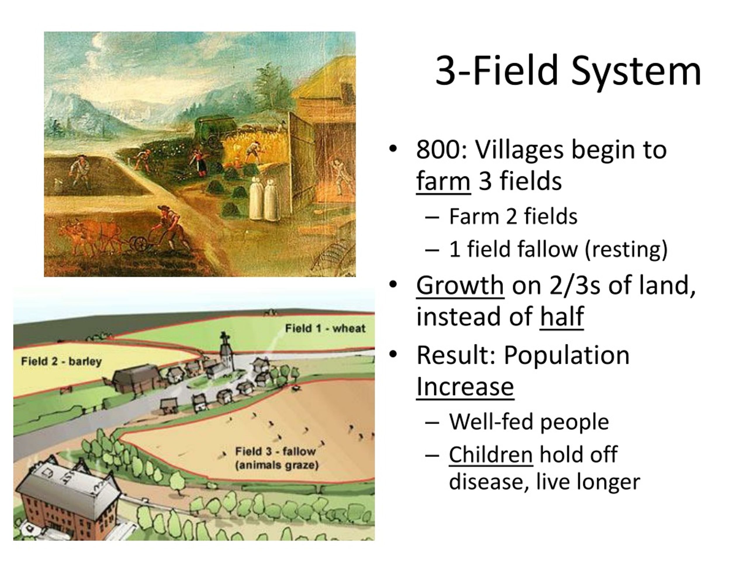 Field system in DerrycammaghField system · 1699 yd
 Roodstown CastleCastle, tower house · 1.4 mi
 Graveyard in StickillinGraveyard · 2.7 mi
 European BeechEuropean Beech · 2.7 mi
 Graveyard in Richardstown (ardee By., Richardstown Par.)Graveyard · 2.9 mi
 Drummeenagh HillMountain / peak · 3.8 mi
 Mount OrielMountain / peak · 7.2 mi