What is recorded here
An abbey of Augustinian Arroasian nuns was established here from Roscommon (RO039-043006-) probably by Turlough O'Conor before his death in 1156. By 1223 it was a cell of the Arroasian nuns at Kilcreevanty (GA029-096001-), but it may have been defunct shortly afterwards (Gwynn and Hadcock, 1970, 163, 316; Hall 2003,…
Read the whole record
From the National Monuments Service (Archaeological Survey of Ireland) record RO040-004001
Places near here
Photo credits
- Maker not stated on source page, commons.wikimedia.org
- Maker not stated on source page, www.thejournal.ie
- Maker not stated on source page, www.dreamstime.com
- National Inventory of Architectural Heritage
- Irishrover1980, Wikimedia Commons · CC BY-SA 4.0
- Mike Searle, Wikimedia Commons · CC BY-SA 2.0
- Maker not stated on source page, www.visitgalway.ie
 Earthwork in CoolteigeEarthwork · 1.1 mi
Explorer Tom Earthwork in Coolteige had a matchmaker who tried to pair it with a nearby field bank, but they never quite hit it off.…
 Fairy fort / stone ringfort in CoolteigeFairy fort / stone ringfort · 1.1 mi
Explorer Tom Fairy fort / stone ringfort in Coolteige, County Roscommon would bring a bag of stale biscuits to a party and act like…
 Fairy fort / earthen ringfort in Cloonybeirne (ballintober South By.)Fairy fort / earthen ringfort · 1.7 mi
Explorer Tom Fairy fort / earthen ringfort in Cloonybeirne does weird things when nobody is watching, like rearranging the grass.…
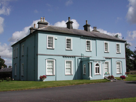 Essex Lawn HouseHouse · 2.2 mi
Explorer Tom Essex Lawn House in Cloonybeirne has a bitter feud with the rain that has been going on for about two hundred years and…
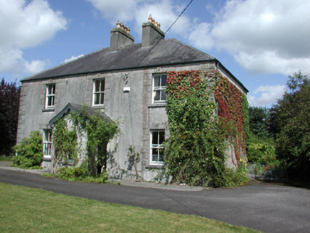 Castleview HouseHouse · 2.3 mi
Explorer Tom Castleview House in Cloonybeirne gets its name from staring at a ruined castle like it’s an ex-partner. The local sheep…
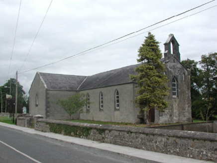 Kilteevan Community CentreChurch/chapel · 2.3 mi
Explorer Tom Kilteevan Community Centre is a church that would order a full chipper with extra mushy peas if it could get to the…
 CastleCastle, Anglo-Norman masonry castle · 2.5 mi
Explorer Tom Castle in Cloonbrackna is the shortcut that isn't a shortcut, because you get lost halfway and end up back where you…
 Roscommon CastleCastle · 2.5 mi
Explorer Tom Roscommon Castle in County Roscommon would explain the 1800s to a teenager by saying, 'Imagine your mum's house, but…
 Graveyard in Clooncah (ballintober South By.)Graveyard · 2.6 mi
Explorer Tom Graveyard in Clooncah has a tall tale about a hidden tunnel that leads directly to the local pub’s cellar. Nobody has…
 Earthwork in BallindallEarthwork · 3.8 mi
Explorer Tom Earthwork in Ballindall hosted a love story that went badly wrong right next to it centuries ago. It’s a circular…
 Bawn in Glinsk (ballymoe By.)Bawn · 12 mi
Explorer Tom Bawn in Glinsk listens to what goes on inside the walls and probably hears the Burkes arguing about who left the light…
 Glinsk CastleVisitor attraction · 12 mi
Explorer Tom Glinsk Castle smells like a mix of old books, wet stone, and whatever the ghosts were having for dinner last night…
More historic places in County Roscommon · All of County Roscommon

What do you know about this place?Tap to add a comment or ask a question