
What is recorded here
On NE bank of Awbeg River; built against sheer rock face. Overgrown shell of 6-storey rectangular mill (19.9m NE-SW; 14.9m NW-SE); SW elevation double-gable-ended, 4-bay; SE elevation of 6 bays. Window opes stone arched. NW elevation partially collapsed. Millrace, taken by weir from river, delivers almost immediately into wheel-pit; water still flows in race. Wheel-pit alongside SW wall built for undershot waterwheel, but now contains inward-flowing turbine installed in 1950s (21kw generator adjacent). Mill built in 1820s by Messers Quayle and Richard Welstead on site of smaller mill and leased by John Furlong in 1835, worked by H. H. Smith until 1887 (Grove White 1905-25, vol. 3, 11-12). Named 'Flour Mill' on 1842 OS 6-inch map. Closed in 1900 and machinery scrapped to help fund Boer War (Power 1990, 50). Canning factory built nearby in 1950s by James Elliott who installed turbine to generate electricity for factory; factory (concrete shell survives) closed in 1965 (Power ibid.).
The above description is derived from the published 'Archaeological Inventory of County Cork. Volume 4: North Cork' (Dublin: Stationery Office, 2000). In certain instances the entries have been revised and updated in the light of recent research.
Date of upload/revision: 14 January 2009
The monument record does not grant public access. Check the route and ask the landowner before entering private land.
- What survives
- Recorded monument
Places near here
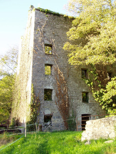 mill (water)mill (water) · 34 yd
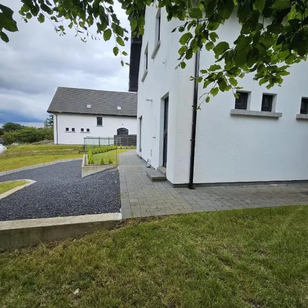
 Dannanstown Housemill manager's house · 90 yd
 Enclosure in Ballyellis (fermoy By., Templeroan Par.)Enclosure · 332 yd
 TumulusCairn, unclassified · 346 yd
 IndicatedCastle, tower house · 351 yd
 Shanballymore Castle (Site of)Castle, unclassified · 378 yd
 Anne's Grove GardensHeritage attraction · 1.1 mi
 Horse Field WoodForest · 2.4 mi
 North Meadow WoodForest · 2.6 mi
 Flat cemetery in Ballyenahan NorthFlat cemetery · 3.2 mi
 Smith's WellSpring · 5.0 mi
 Blackwater (Avondhu) WayWalking route · 5.2 mi
Other information
Photo: Credit not shown in the picture search · Rights wording not checked; contact us if this picture should be removed