
What is recorded here
From the National Monuments Service (Archaeological Survey of Ireland) record CO016-208
Places near here
Picture notes
- National Inventory of Architectural Heritage
- Computer-made picture. It does not show this monument.
- Mike Searle, Geograph · CC BY-SA 2.0
- Mike Searle, Wikimedia Commons · CC BY-SA 2.0
- Computer-made picture. It does not show this playground.
- Christian Pirkl, Wikimedia Commons · CC BY-SA 3.0 at
- Unknown author Unknown author, Wikimedia Commons · Public domain
 Bregoge HouseHouse · 287 yd
Explorer Tom Bregoge House is obsessed with 'Dancing Queen' because it thinks its double-leaf door looks good doing the cha-cha. Whisper a secret to the gates; they might just whisper back, but don’t trust them.
 Fairy fort / earthen ringfort in BregogeFairy fort / earthen ringfort · 338 ydComputer-made picture
Explorer Tom Fairy fort / earthen ringfort in Bregoge is so faint that you’d need binoculars and a strong cup of tea just to find it. It would complain to the council about the lack of funding for its own preservation budget every single week. Bring a coin for luck and keep it in your pocket.
 Burial Ground (Site of)Graveyard · 399 ydComputer-made picture
Explorer Tom Burial Ground in Tullig is just a low mound on a slope. Maps say it was here, but nothing else remains except maybe a church site. It’s like finding a footprint without seeing who made it!
 Fairy fort / earthen ringfort in Tullig (orrery and Kilmore By.)Fairy fort / earthen ringfort · 434 ydComputer-made picture
Explorer Tom Another fairy fort in Tullig is heavily overgrown inside, so it’s basically a jungle gym for rabbits and regrets. Its dating profile says 'seeking flat ground to settle on, no drama, just earth.' Look serious, nod slowly, you're basically an expert now.
 Moated site in BregogeMoated site · 560 ydComputer-made picture
Explorer Tom Moated site in Bregoge smells strongly of regret and wet earth, according to my nostrils. The moat got filled in back in '83, but the vibe remains suspiciously damp. Have a chat with it, nobody's watching, except maybe the sheep.
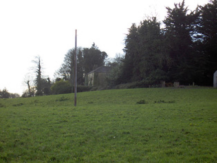 Tullig HouseCountry house · 602 yd
Explorer Tom Tullig House in Tullig is throwing a silent party I didn't get invited to. The lodge gate is probably judging my outfit right now. Go with some style, love, don't let the iron gates down on us.
 Fairy fort / earthen ringfort in TinnascartFairy fort / earthen ringfort · 922 ydComputer-made picture
Explorer Tom Fairy fort / earthen ringfort in Tinnascart was levelled in the late 1950s, but bushes are growing on the area where it used to be a low rise. The field is still called the fort field, which is nice of them to keep the memory alive in the name.
 Templeconnell Castle (in Ruins)Castle, tower house · 1.5 mi
Explorer Tom Templeconnell Castle is a five-storey tower that looks like it went to war with gravity and lost slightly. The Percivals took over in 1656 after the Magners got tired of the drama. A good place to forget your phone for ten minutes and feel ancient.
.jpg/250px-Castles_of_Munster-_Lisgriffin,_Cork_(geograph_3036422).jpg "Photo: Mike Searle, Wikimedia Commons · CC BY-SA 2.0") Lisgriffin CastleCastle · 1.6 mi
Lisgriffin CastleCastle · 1.6 miExplorer Tom Lisgriffin Castle in County Cork is just standing there with a look that says 'I have seen things.' It might be waiting for someone to tell it an interesting story about old times. Tell me what you see!
 Children's playground1.9 miComputer-made picture
 Sycamore1.9 mi
Explorer Tom Sycamore in County Cork caused the whole parish to argue for a week over which side is prettier. Bring your nan, she'll know more than me and probably start shouting.
 Battle of LiscarrollMajor battlefield · 4.2 mi
Explorer Tom Battle of Liscarroll in County Cork is where Irish Confederates and Royalists had a go, mostly because they couldn't agree on who was right. Bring wellies and low expectations, leave delighted.
More archaeology and monuments in County Cork · All of County Cork

What do you know about this place?Tap to add a comment or ask a question