
What is recorded here
From the National Monuments Service (Archaeological Survey of Ireland) record CO141-147
Places near here
Photo credits
- Maker not stated on source page, commons.wikimedia.org
- Maker not stated on source page, uk.pinterest.com
- National Inventory of Architectural Heritage
- N Chadwick, Geograph · CC BY-SA 2.0
- Maker not stated on source page, www.alamy.com
- JessicaOSullivan1990, Wikimedia Commons · CC BY-SA 4.0
- Vadim Manuylov, Wikimedia Commons · CC BY-SA 3.0
- Maker not stated on source page, www.pinterest.com
- Anne Minihane / Southern Star, www.southernstar.ie
 Standing stoneStanding stone, pair · 260 yd
Explorer Tom The Standing stone pair in Prohoness are two uprights standing 0.4m apart, allegedly invented by a local who drank too…
 Anomalous stone group in ProhonessAnomalous stone group · 730 yd
Explorer Tom Anomalous stone group in Prohoness has five slabs arranged in an S-shape near a children's burial ground, which is…
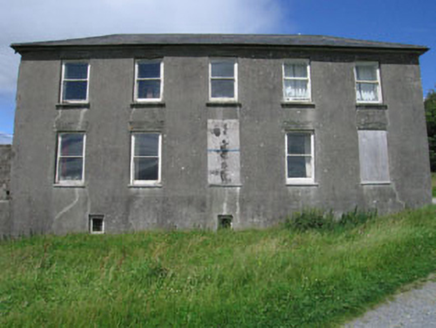 Westfield HouseCountry house · 1444 yd
Explorer Tom Westfield House in Hollyhill has a blank entrance front because someone changed their mind about doors. It’s got a…
 Cupmarked stone in Hollyhill (carbery W. (e.d) By.)Cupmarked stone · 1504 yd
Explorer Tom Cupmarked stone in Hollyhill is arguing with the nearest tree about who has more holes in them. Twenty-two cupmarks are…
 Meen BridgeBridge · 1.0 mi
Explorer Tom Meen Bridge in Corravoley, Leighcloon, Murrahin South is showing off its early 19th-century craftsmanship like it…
 Church of the Most Holy RosaryChurch/chapel · 1.1 mi
Explorer Tom Church of the Most Holy Rosary is so big and eyecatching that it probably has an unlikely celebrity friend hiding in…
 Stone row in Lissaclarig WestStone row · 1.2 mi
Explorer Tom The stone row in Lissaclarig West is part of a fence now, which is basically a demotion. One stone got smashed to widen…
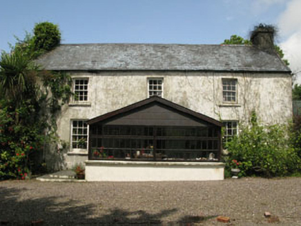 farm house1.4 mi
Explorer Tom Farm house in Reenmurragha is all symmetrical and classical because some builder had big dreams. It’s got six-over-six…
 Skeagh CairnArchaeological place · 1.4 mi
Explorer Tom Skeagh Cairn in County Cork is a big pile of stones that's decided to stay put, which is more than I can say for my…
 Monterey Cypress1.6 mi
Explorer Tom This Monterey Cypress in County Cork is guarded by a superstition that you must wink left before entering. Locals swear…
 Graveyard in CorravoleyGraveyard · 1.6 mi
Explorer Tom Graveyard in Corravoley keeps its secrets tighter than a miser with his wallet, likely because nobody has bothered to…
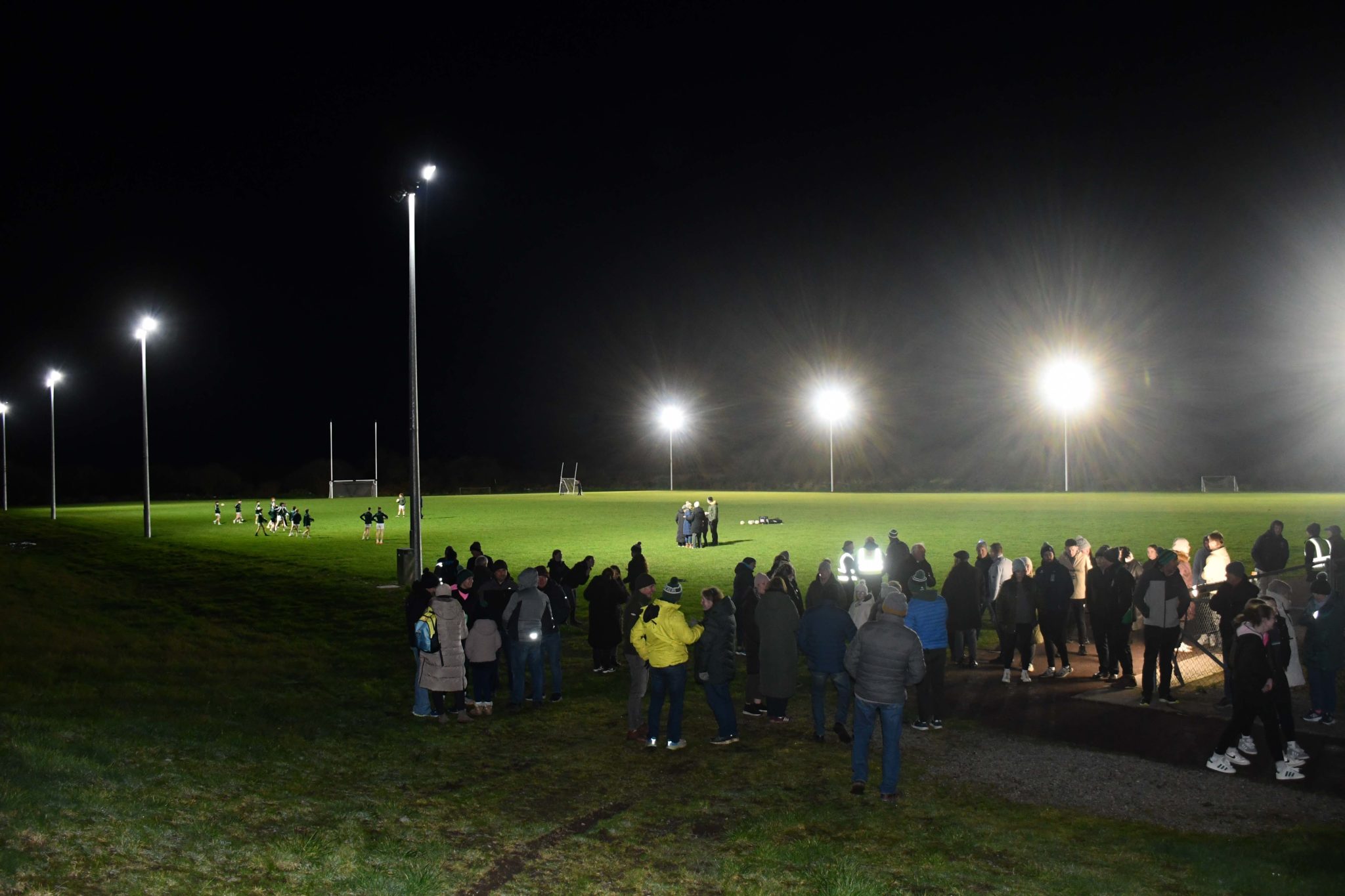 Páirc na hAidhlean, Church Cross, Ilen RoversGAA ground · 1.8 mi
More archaeology and monuments in County Cork · All of County Cork

What do you know about this place?Tap to add a comment or ask a question