
What is recorded here
Portion of late medieval wayside cross (H 1m; T 0.4m) located in the front garden of the parochial house in Rhode Village (OF011-056). According to the priest this cross came from the monastic site of Coolcor (OF004-011----) which is now destroyed. The cross is described by Comerford (1883, 324) as having four sculpted figures in relief one on each face. These figures according to Comerford are (1) the Crucifixion; (2):the blessed Virgin; (3) a Bishop (maybe St Patrick); (4) a monk (maybe St Francis). Below one of the Bishops there is an inscription in relief written in English which reads 'Blessed are the weak in Spirit'. According to the local priest there was a hole on top of the shaft of the cross with a metal spike attached, this was probably the method for attaching another piece onto the cross. This cross appears to belong to the 16th/17th-century.
Cross referenced with OF011-056.
The above description is derived from the published 'Archaeological Inventory of County Offaly' (Dublin: Stationery Office, 1997). In certain instances the entries have been revised and updated in the light of recent research.
Date of upload: 23 May 2011
A late medieval wayside cross, approximately 1m high and 0.4m thick, originally from the monastic site of Coolcor, likely built between the 13th and 16th centuries; its style reflects the ecclesiastical traditions of the region, and it is now located in the garden of the parochial house in Rhode Village, serving as a reminder of the area’s monastic and religious heritage.
This remains an important historical record, but the official description says the monument is no longer visible or has been destroyed. The monument record does not grant public access. Check the route and ask the landowner before entering private land.
- What survives
- No visible remains or recorded as destroyed
Places near here
 Monastery (Site of)Building · 43 yd
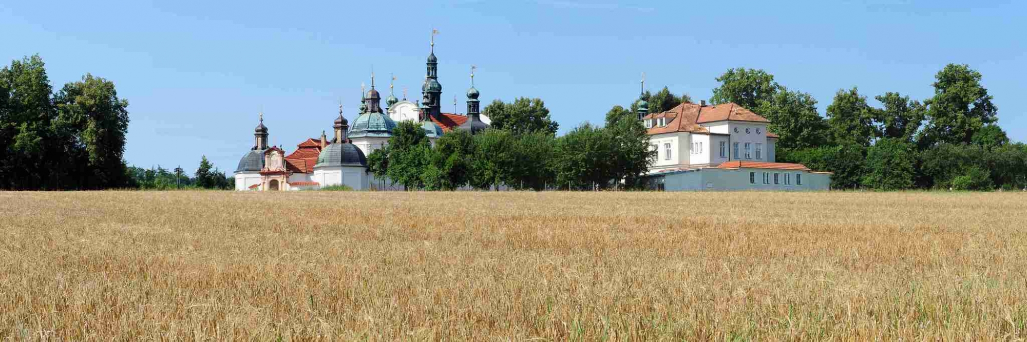 Church (in Ruins), Monastery (Site of)Religious house, Franciscan nuns (Poor Clares) · 66 yd
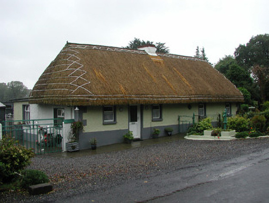 farm housefarm house · 318 yd
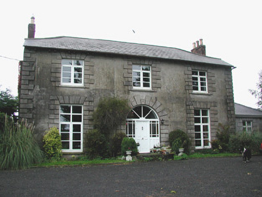 Coolville Househouse · 709 yd
 Clonin EarthworksMountain / peak · 1655 yd
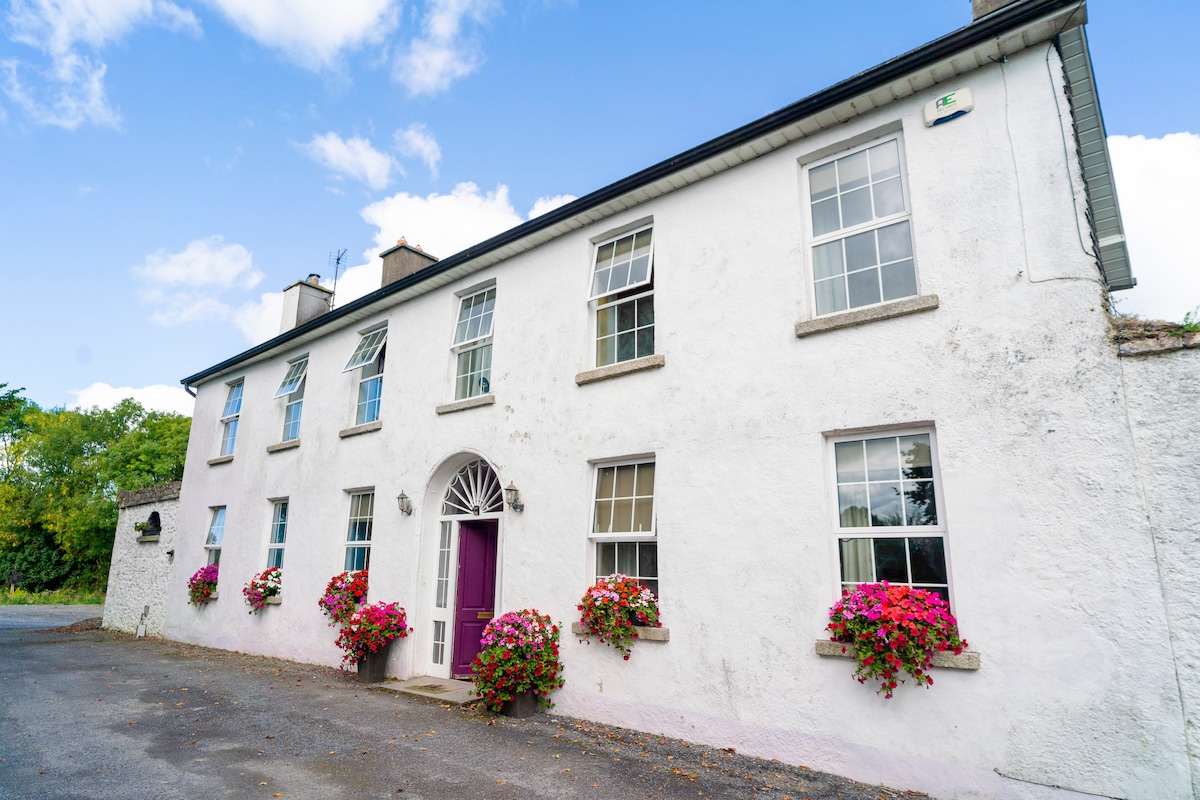 Ballyburly Ho.Castle, unclassified · 1.3 mi
 Moat HillMountain / peak · 1.6 mi
 Holy PlantationForest · 1.7 mi
 Victoria PlantationWood · 1.9 mi
 OutlinedBawn · 2.1 mi
 Croghan HillMountain / peak · 3.3 mi
 Croghan Hill WalkVisitor information · 3.5 mi
Other information
Photo: Credit not shown in the picture search · Rights wording not checked; contact us if this picture should be removed