DDiscover AloneMapAbout

Cross-slab in Labaun

Cross-slab (present location)
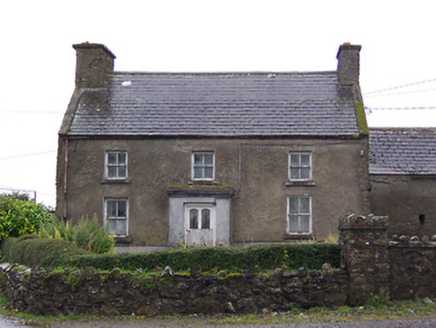
Computer-made picture that does not show Cross-slab in LabaunNot a photo of this monument
Computer-made picture. It does not show this monument. · Report the wrong picture

The monument record does not grant public access. Check the route and ask the landowner before entering private land.

What do you know about this place?Tap to add a comment or ask a question

What you write will be public.

What is recorded here

Early Christian cross-inscribed slab (dims. L 0.9m; Wth 0.43m) that has been built into the S face of a short section of the upstanding remains of the N wall of a medieval church (WM030-045001-) located 9m S of the post-medieval ruins of Holy Trinity Church standing in the centre of the graveyard (WM030-045----). The…

Read the whole record
Early Christian cross-inscribed slab (dims. L 0.9m; Wth 0.43m) that has been built into the S face of a short section of the upstanding remains of the N wall of a medieval church (WM030-045001-) located 9m S of the post-medieval ruins of Holy Trinity Church standing in the centre of the graveyard (WM030-045----). The slab has been built into the S face of the wall at a height of 0.9m above the surface of the graveyard. The slab contains a small incised linear Latin cross with bifid terminals also known as a cross fourchee and a Goidelic inscription which reads Or do Maelmaire that has be inset into the wall of the old mortuary chapel of the Magawley family. The inscription Or do Mael Maire can be expanded into Oroit Do Maelmaire, meaning Pray for Maelmaire. The cross-inscribed slab was formerly located in the grounds of Shurock House located 2.3km to the SE. In the 1872 it was recorded that the ‘inscribed stone Or do Mailmaire, now preserved at Shurock, near moate, was carried thither, as Dr. Petrie learned from an old inhabitant of the place, from Calraighe. This was the ancient name of the M’Gawleys’ country in Westmeath – a territory comprising the parish of Ballyloughloe, in which Shurock is situated. There is an old church in the neighbourhood called Culree [Calry], from which this stone was taken, and placed on the side of a small moat in the demesne of Shurock House, where it may still be seen. In the Ordnance Survey Letters (County Westmeath, pp. 29, 30), the following passage occurs: “M’Fibris mentions different tribes in Ireland under the name Calraighe, who belonged to this district. Not far from the site of Ballyloughloe is shown the site of a small abbey, but no remains of any walls; and near the Protestant Church are the remains of a small chapel, said to have been built by the M’Gawleys, chiefs of Culree” ’ (Stokes 1872, 11). The cross-slab was recorded by H. G. Leask while it was in situ at Shurock House. Leask described the slab as following: ‘located at the back of the residence there is a mound of irregular formation at the edge of which there is a flat stone, 3’ 0” x 18” (0.91m x 0.45m) irregular in shape and inscribed as sketch (see attached image of sketch made by Leask)’ (SMR file). In 1949 Macalister (1949, 79) recorded that slab was built into ‘the side of a mound in the grounds of Shurock, a short distance north of Moate railway station'. According to Fanning and Ó hÉailidhe (1980, 12) this cross-slab was ‘first recorded by Petrie who found it in 1822 lying on the side of a mound in the estate at Shurock House near Moate. He was informed by old people in the neighbourhood that it had been removed from the old church at Calraighe (Calry). At present it is built into some wall remains in the centre of the old graveyard (WM030-045----) at Labaun, Mount Temple, near Moate'. The location of the medieval church of Calry is uncertain it may have been the site of the church (WM030-045001-) which stood in the graveyard in the townland of Labaun. Alternatively 'Calry Church' may have been the ecclesiastical site (WM030-035----) depicted on the 1837 ed. OS 6-inch map as an ‘Abbey’ located 340m NW of Loch Luatha [Ballyloughloe]. 'Calry Church' appears to have been known as Ballyloughloe Church from which the parish received its name.

From the National Monuments Service (Archaeological Survey of Ireland) record WM030-046

Places near here

Photo credits
  • Maker not stated on source page, www.dreamstime.com
  • Golfing in Ireland; photographer not stated, Source publisher
  • Gerard Michael Lynch, Wikimedia Commons · CC BY-SA 4.0
  • Maker not stated on source page, commons.wikimedia.org
  • Maker not stated on source page, archaeology.co.uk
  • Maker not stated on source page, www.abartaheritage.ie
  • Maker not stated on source page, theirishaesthete.com
  • Photographer not named, www.agriland.ie
  • National Inventory of Architectural Heritage
  • Maker not stated on source page, en.wikipedia.org
Holy Trinity GraveyardCemetery · 7 yd

Explorer Tom Holy Trinity Cemetery in County Westmeath is run by a very aggressive dog who barks at everyone, including the birds…
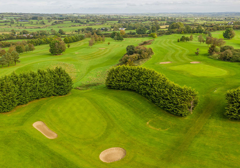
Mount Temple Golf ClubGolf course · 286 ydCorpus Christi Catholic ChurchChurch/chapel · 347 yd

Explorer Tom Corpus Christi Catholic Church makes a spooky groaning sound at night when the wind hits those Lombardo arches. It…

Earthwork in LabaunEarthwork · 715 yd

Explorer Tom Earthwork in Labaun is based on a superstition locals swear by: if you touch the rocks at the base of the ridge, you’ll…

Fairy fort / earthen ringfort in LabaunFairy fort / earthen ringfort · 730 yd

Explorer Tom Fairy fort / earthen ringfort in Labaun refuses to fall down because it’s got a serious grudge against gravity and the…

Site of AbbeyEcclesiastical site · 801 yd

Explorer Tom Site of Church in Skeagh More has been levelled so completely it’s basically a rumour now. It’s sitting on a slope near…
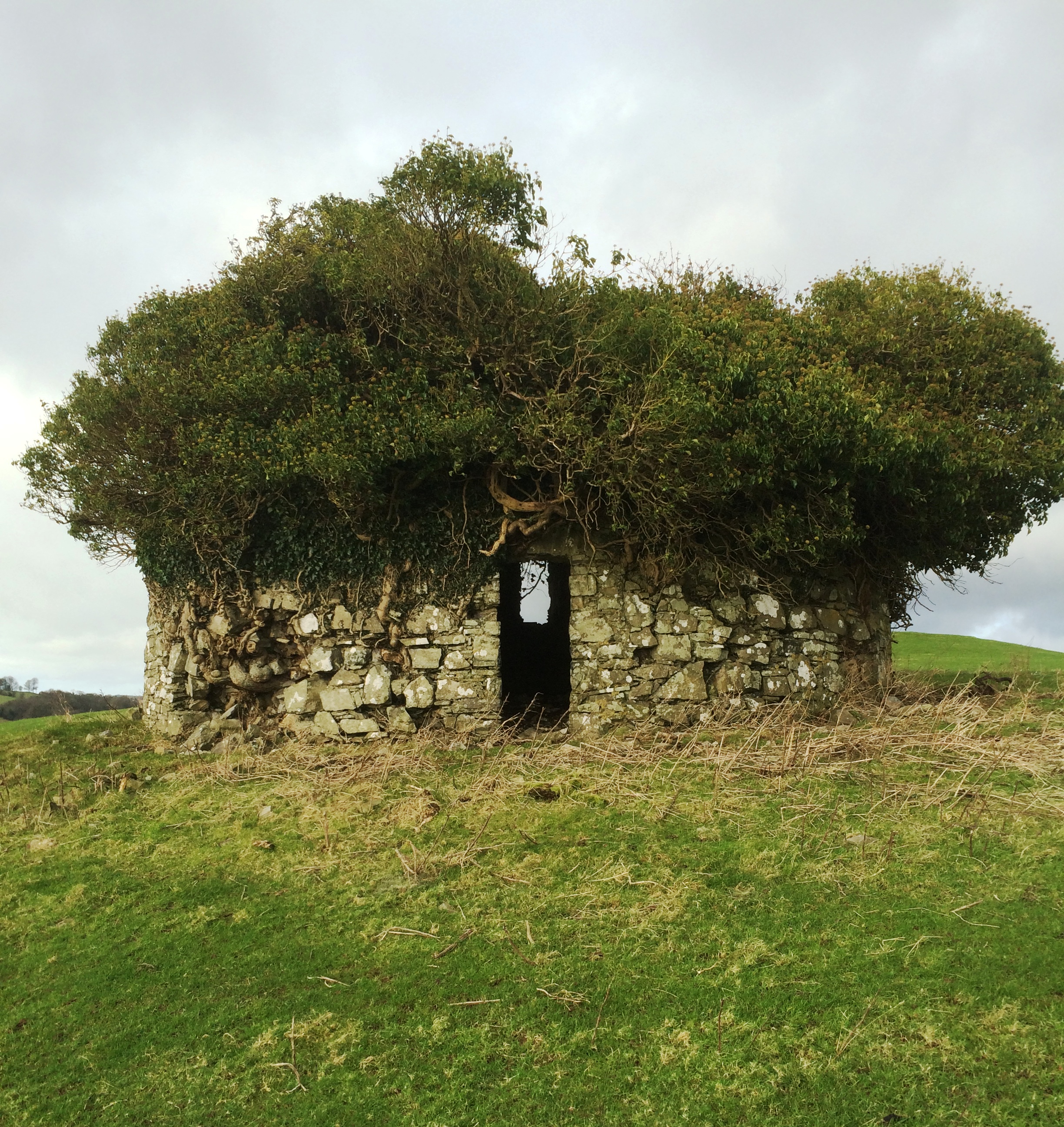
Fairy fort / earthen ringfort in Rathduff (clonlonan By.)Fairy fort / earthen ringfort · 950 yd

Explorer Tom Rathduff’s fort was built because a priest lost a bet on horse racing and had to pay in stone and earth. It stands on a…

Fairy fort / earthen ringfort in ClonyeganFairy fort / earthen ringfort · 1657 yd

Explorer Tom Fairy fort / earthen ringfort in Clonyegan thinks Dublin tourists are just practice runs for the real ones who know how…

Fairy fort / earthen ringfort in Correagh (clonlonan By.)Fairy fort / earthen ringfort · 1719 yd

Explorer Tom Fairy fort / earthen ringfort in Correagh caused the whole parish to argue about whether it was oval or circular for…
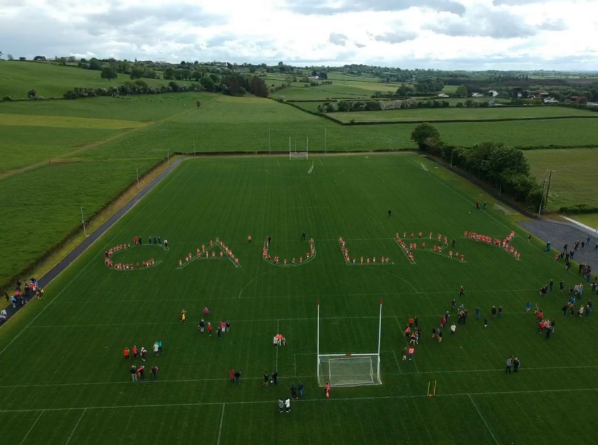
Caulry GAA pitchGAA ground · 1.0 miNahod Beag HouseHouse · 1.0 mi

Explorer Tom Nahod Beag House is quietly judging the new build next door with its big, protruding chimney stack. It’s just standing…

Donegan CemeteryCemetery · 1.1 mi

Explorer Tom Donegan Cemetery in County Westmeath would teach history by shouting at you until you remembered the date, which is…

More archaeology and monuments in County Westmeath · All of County Westmeath

Add to this placeAdd a picture Add a detailed tip Add a story

Explore the map1,095,414 places to discover

Next place · or swipeHoly Trinity Graveyard