What is recorded here
Situated on W facing slope of rising ground in upland area with nearby stream 45m to the E of the graveyard (LA002-013002-). Poorly preserved church located in the centre of a D-shaped graveyard defined by a sandstone wall . Low earth and stone bank with traces of a outer fosse visible at E only; this bank runs out from the base of the graveyard wall at SE and forms a circular boundary to the E of the upstanding graveyard wall. This bank appears to be the remains of an earlier graveyard boundary or may be remains of a small ecclesiastical enclosure (LA002-013004-). Only the E gable of the church (LA002-013001-) stands in the centre of the graveyard. Small aumbry located off centre to S in E wall with destroyed E window in centre of E gable. The base of the aumbry is constructed with a re-used early christian sandstone cross-slab (Wth 0.32m; T 0.07m; L 0.95m) decorated with a double line incised cross with circular base (Feehan 1983, 410).
Compiled by: Caimin O'Brien
Date of upload: 17 December 2007
Cross-slab in Ballynahown is likely medieval in date, associated with a Christian burial or ecclesiastical site. Such slabs often marked graves or served as waypoints for pilgrims, and may have had both religious and commemorative functions.
The monument record does not grant public access. Check the route and ask the landowner before entering private land.
- What survives
- Recorded monument
Places near here
 Church (in Ruins), Graveyard, CarrigeenChurch · 4 yd
 Ecclesiastical enclosure in BallynahownEcclesiastical enclosure · 33 yd
 Site of CastleCastle, unclassified · 1497 yd
 RaheenFairy fort / earthen ringfort · 1.2 mi
 Bridge in CadamstownBridge · 1.4 mi
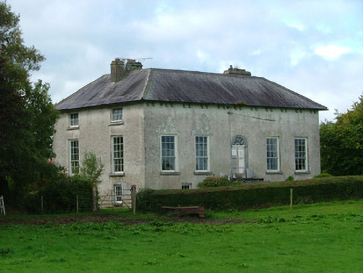 Cadamstown Housecountry house · 1.6 mi
 Giant's Grave LoopWalking route · 1.6 mi
 Partiall hachuredBawn · 1.7 mi
 Graveyard in LetterGraveyard · 2.0 mi
 Kinnitty ForestForest · 2.4 mi
 Knockhill GroveWood · 2.9 mi
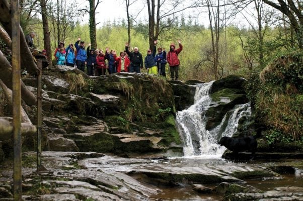 Slieve Bloom WayWalking route · 3.0 mi