What is recorded here
Marked on 1841 and 1881 editions of the OS 6-inch maps but not on later editions Subrectangular area (dims. 58m E-W, 42m N-S) defined by a bank along W, N and E sides and by a scarp at S. A slight fosse survives along N side. Evidence of stone in bank material at N, possible entrance at NE. Internal N-S bank in E half of enclosure. What appears to be a circular structure, in NE angle of enclosure, is visible on aerial photograph (CUCAP V 300, 712); possibly the remains of an unclassified castle (LA002-007001-) and bawn. David Sweetman, Olive Alcock and Bernie Moran.
Marked on 1841 and 1881 editions of the OS 6-inch maps but not on later editions Subrectangular area (dims. 58m E-W, 42m N-S) defined by a bank along W, N and E sides and by a scarp at S. A slight fosse survives along N side. Evidence of stone in bank material at N, possible entrance at NE. Internal N-S bank in E half of enclosure. What appears to be a circular structure, in NE angle of enclosure, is visible on…
From the National Monuments Service (Archaeological Survey of Ireland) record LA002-007
The monument record does not grant public access. Check the route and ask the landowner before entering private land.
- What survives
- Recorded monument
Places near here
Castle Cuffe (ruins)Castle · 916 yd CastlecuffeStables · 1021 ydSite of CastleCastle, unclassified · 1526 ydChurch (in Ruins), Graveyard, CarrigeenChurch · 1.7 miBrittas HouseCountry house · 2.0 miKilmanman church (in Ruins), GraveyardChurch · 2.1 miGiant's Grave LoopWalking route · 2.6 miSlieve Bloom MountainsMountain range · 3.3 miToberlugnaHoly well · 3.4 miSitka Spruce4.6 miBaunreaghcongMountain / peak · 5.3 miStone CrossCross, High cross (present location) · 5.4 mi
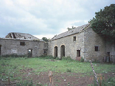 CastlecuffeStables · 1021 ydSite of CastleCastle, unclassified · 1526 ydChurch (in Ruins), Graveyard, CarrigeenChurch · 1.7 mi
 Brittas HouseCountry house · 2.0 miKilmanman church (in Ruins), GraveyardChurch · 2.1 miGiant's Grave LoopWalking route · 2.6 mi
 Slieve Bloom MountainsMountain range · 3.3 mi
 ToberlugnaHoly well · 3.4 mi
 Sitka Spruce4.6 mi
 BaunreaghcongMountain / peak · 5.3 mi
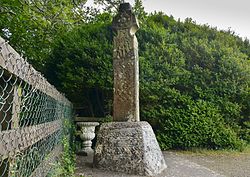 Stone CrossCross, High cross (present location) · 5.4 mi
Pictures: National Inventory of Architectural Heritage; Mike Searle, Geograph · CC BY-SA 2.0; Mooro1, Wikimedia Commons · CC BY-SA 4.0; Jonathan Thacker, Geograph · Creative Commons Attribution-ShareAlike 2.0; Wsiegmund, Wikimedia Commons · CC BY 2.5; kevin higgins, Wikimedia Commons · CC BY-SA 2.0; Zepherb, Wikimedia Commons · CC BY-SA 4.0
More castles and forts in County Laois · All of County Laois
What do you know about this place?