
What is recorded here
Ballynahimmy castle once held a narrow ridge above the northern valley, but time and perhaps deliberate erasure reduced it to a rectangular scar in the ground. A short wall still stands on the southwest edge of the platform, defying the levelled earth around it. The site resists easy description because so much is missing, yet that absence gives the remaining stone more force.
Situated on E-W ridge overlooking valley to N. Levelled except for a small stretch of wall which is situated on the SW side of a rectangular platform (dims. c. 16m E-W, c. 20m N-S) which in turn is defined by a fosse, probably partly of recent origin.
The above description is derived from the published 'Archaeological Inventory of County Laois' (Dublin Stationery Office, 1995) compiled by P. David Sweetman, Olive Alcock and Bernie Moran. In certain instances the entries have been revised and updated in the light of recent research.
Date of upload: 17 December 2007
The monument record does not grant public access. Check the route and ask the landowner before entering private land.
- What survives
- Recorded monument
Places near here
 RaheenFairy fort / earthen ringfort · 703 yd
 Ecclesiastical enclosure in BallynahownEcclesiastical enclosure · 1465 yd
 Church (in Ruins), Graveyard, CarrigeenChurch · 1501 yd
 Partiall hachuredBawn · 1526 yd
 Castle Cuffe (ruins)Castle · 1.2 mi
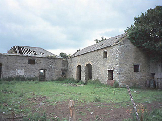 Castlecuffestables · 1.3 mi
 Giant's Grave LoopWalking route · 2.2 mi
 Bridge in CadamstownBridge · 2.3 mi
 Graveyard in LetterGraveyard · 2.7 mi
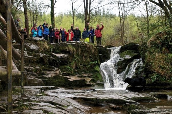 Slieve Bloom WayWalking route · 3.4 mi
 Knockhill GroveWood · 3.6 mi
 Slieve Bloom MountainsMountain range · 3.7 mi
Other information
Photo: Credit not shown in the picture search · Rights wording not checked; contact us if this picture should be removed