What is recorded here
Situated on a slight rise in upland area with holy well (OF037-002003-) to NW. The W end of the N wall are the only standing remains of this poorly preserved church (OF037-002001-) located in the S sector of a possible graveyard which is enclosed by an earth and stone bank. No gravemarkers visible.
From the National Monuments Service (Archaeological Survey of Ireland) record OF037-002002
The monument record does not grant public access. Check the route and ask the landowner before entering private land.
- What survives
- Recorded monument
Places near here
 ToberlugnaHoly well · 73 ydKinnitty ForestForest · 674 yd
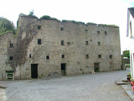 mill (water)1060 yd
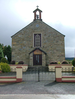 Saint Luna's Catholic ChurchChurch/chapel · 1062 ydBallymacadam Castle in ruinsCastle, unclassified · 1244 ydGiant's Grave LoopWalking route · 1465 ydPigeonstown WoodForest · 1.4 miSlieve Bloom WayWalking route · 1.5 miCastle (Site of)Castle, unclassified · 1.6 miChurch (in Ruins), Graveyard, CarrigeenChurch · 2.0 mi
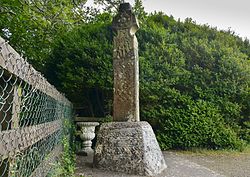 Stone CrossCross, High cross (present location) · 2.0 miCastletown and GlinskVisitor information · 2.0 mi
Pictures: Jonathan Thacker, Geograph · Creative Commons Attribution-ShareAlike 2.0; National Inventory of Architectural Heritage; Zepherb, Wikimedia Commons · CC BY-SA 4.0
More memorials and graveyards in County Offaly · All of County Offaly
What do you know about this place?