
What is recorded here
No surface remains visible of any enclosure around church and graveyard, circular shape of graveyard wall suggests that this wall may repsect the line of an earlier enclosure.
Situated on W facing slope of rising ground in upland area with nearby stream 45m to the E of the graveyard (LA002-013002-). Poorly preserved church (LA002-013001-) located in the centre of a D-shaped graveyard defined by a sandstone wall. Low earth and stone bank (Top Wth 2.5m; base Wth 4m; int. H 0.4m; ext. H 0.6m) with traces of a outer fosse visible at E only; this bank runs out from the base of the graveyard wall at SE and forms a circular boundary to the E of the upstanding graveyard wall. It just peters out to the NE of the graveyard with no surface remains visible to the N or W of the graveyard. This bank appears to be the remains of an earlier graveyard boundary or may be remains of a small ecclesiastical enclosure (LA002-013004-). This bank is located at a distance of 28m from the outer face of the graveyard wall at E. Curving section of graveyard wall to N of church may be on line of earlier enclosure (approx. diam. 75m).
Compiled by: Caimin O'Brien
Date of upload: 17 December 2007
The monument record does not grant public access. Check the route and ask the landowner before entering private land.
- What survives
- Recorded monument
Places near here
 Church (in Ruins), Graveyard, CarrigeenChurch · 37 yd
 Site of CastleCastle, unclassified · 1465 yd
 RaheenFairy fort / earthen ringfort · 1.2 mi
 Enclosure in CadamstownEnclosure · 1.3 mi
 Bridge in CadamstownBridge · 1.4 mi
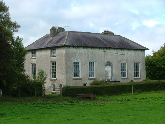 Cadamstown Housecountry house · 1.6 mi
 Giant's Grave LoopWalking route · 1.6 mi
 Partiall hachuredBawn · 1.7 mi
 Graveyard in LetterGraveyard · 2.0 mi
 Kinnitty ForestForest · 2.4 mi
 Knockhill GroveWood · 2.9 mi
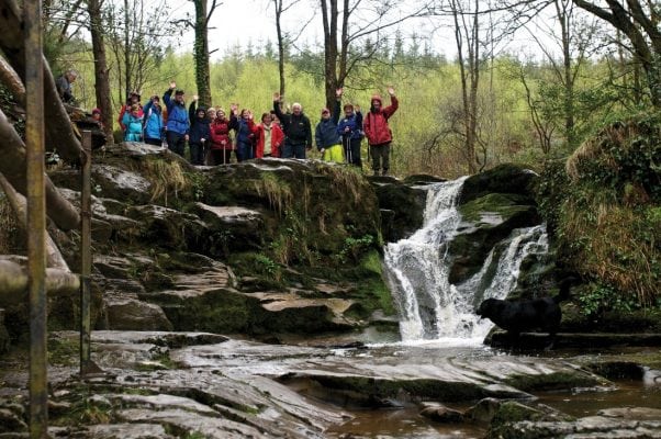 Slieve Bloom WayWalking route · 3.0 mi
Other information
Photo: Credit not shown in the picture search · Rights wording not checked; contact us if this picture should be removed