What is recorded here
Named ‘Cross’ on the OS 25-inch plan (1897) - which appears to show its location c. 8m to the NW of a rath (CL017-088002-) - and similarly recorded on the Cassini edition (1916) of the OS 6-inch map. Noted by Westropp (1900-2, 139; No. 44) who recorded that, ‘ … the head of a bossed Celtic cross [CL017-088003-] and the holy bush [CL017-088001-] which gives the place its name, remain near a large rath [CL017-088002-], with a Man-made underground passage [CL017-088004-] …’ An eroded limestone wheeled-cross head (L c. 0.71m; Wth c. 0.68m; T c. 0.1m) described by MacNamara (1900, 32) as ‘rudely cut and apparently not quite finished … the back is uncut, but the front is ornamented with five circular bosses marked with concentric circles and formed into a Celtic cross by means of incised lines of no great depth’.
Named ‘Cross’ on the OS 25-inch plan (1897) - which appears to show its location c. 8m to the NW of a rath (CL017-088002-) - and similarly recorded on the Cassini edition (1916) of the OS 6-inch map. Noted by Westropp (1900-2, 139; No. 44) who recorded that, ‘ … the head of a bossed Celtic cross [CL017-088003-] and the holy bush [CL017-088001-] which gives the place its name, remain near a large rath…
From the National Monuments Service (Archaeological Survey of Ireland) record CL017-088003
The monument record does not grant public access. Check the route and ask the landowner before entering private land.
- What survives
- Recorded monument
Places near here
Photo credits
- Roger Diel, Geograph · Creative Commons Attribution-ShareAlike 2.0
- Roger Diel, Wikimedia Commons · CC BY-SA 2.0
- Brian Nelson, Geograph · CC BY-SA 2.0
- National Inventory of Architectural Heritage
- Bob Jones, Geograph · CC BY-SA 2.0
- Adrian King, Geograph · CC BY-SA 2.0
- Muimhneach, Wikimedia Commons · CC BY-SA 4.0
- Humphrey Bolton, Geograph · CC BY-SA 2.0
- Gunther Tschuch, Wikimedia Commons · CC BY-SA 4.0
- Paul Woods, Wikimedia Commons · CC BY 2.0
- Andreas F. Borchert, Wikimedia Commons · CC BY-SA 4.0
 Ballyportry CastleCastle/fortified house · 1367 yd
 Ballyporty Castle (in ruins) / TowerCastle, tower house · 1367 yd
 IndicatedBawn · 1368 ydBattle of TullyodeaBattlefield · 1.6 mi
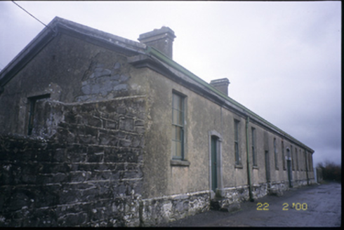 The Old WorkhouseWorkhouse · 1.6 mi
 Rock IslandIsland · 2.4 mi
 Inchiquin IslandIslet · 2.5 mi
 Sheela-na-gig in KillinaboySheela-na-gig · 2.7 mi
 Burren National ParkVisitor information · 2.8 mi
 Burren national parkVisitor information · 2.8 mi
 Mullagh MoreMountain / peak · 3.6 mi
 CarnWedge tomb · 3.7 mi
More archaeology and monuments in County Clare · All of County Clare
What do you know about this place?