
What is recorded here
Situated on a natural rise of ground in undulating countryside. Present remains consist of a modern graveyard wall enclosing a square shaped area with the outline of a church (OF045-032001-) in the W sector. Architectural fragment consisting of an ogee headed window indicates late medieval date for church. Other fragments include a bullaun stone (OF045-032002-) with two shallow depressions on its upper surface and a large hollow depression on its underside. A roughly rectangular shaped stone with a hole which has a convex bulbous bottom. Possibly the base of a cross. Graveyard (OF045-032004-) contains 18/19th-century headstones. According to O' Flanagan (1933, vol. 2, 68) this site was known as the church of Finglas.
The above description is derived from the published 'Archaeological Inventory of County Offaly' (Dublin: Stationery Office, 1997). In certain instances the entries have been revised and updated in the light of recent research.
Date of upload: 23 May 2011
The monument record does not grant public access. Check the route and ask the landowner before entering private land.
- What survives
- Recorded monument
Places near here
 Enclosure in Moatquarter (rathnaveoge Par.)Enclosure · 878 yd
 Enclosure in LoughanEnclosure · 932 yd
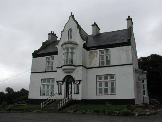 The Rectoryrectory/glebe/vicarage/curate's house · 933 yd
 MoatCastle, motte · 1069 yd
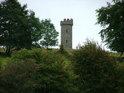 Busherstown Towerfolly · 1143 yd
 CastleCastle, motte · 1.3 mi
 BenduffMountain / peak · 2.6 mi
 Longford WoodForest · 2.9 mi
 Borrisnoe MountainMountain / peak · 3.9 mi
 Kyleroe WoodWood · 4.7 mi
 Thomas MacDonagh Heritage CentreMuseum · 5.8 mi
 MacDonagh HouseMemorial · 5.9 mi
Other information
Photo: Credit not shown in the picture search · Rights wording not checked; contact us if this picture should be removed