What is recorded here
Described in the OS Letters as near Elm Vale house which was ‘called by the peasantry Tigh na Croise or House of the Cross’ (Comber 1997, 14) and described by Westropp (1900, 140) as one of two crosses ‘which marked the church lands at Crossard and Elmvale (Crossoughter)’. The location of this cross is unknown. ‘Brian Boru’s Well’ (CL016-100----) is located c. 111m to the S of Elmvale House.
Compiled by: Mary Tunney and Lynda McCormack
Date of upload: 19 July 2022
The high cross at Elmvale was likely erected in the 9th or 10th century by a local monastic or Christian community. It is associated with early medieval Christian practice and may have served as a waymarker or site of worship, reflecting the Hiberno-Saxon artistic tradition.
The monument record does not grant public access. Check the route and ask the landowner before entering private land.
- What survives
- Recorded monument
Places near here
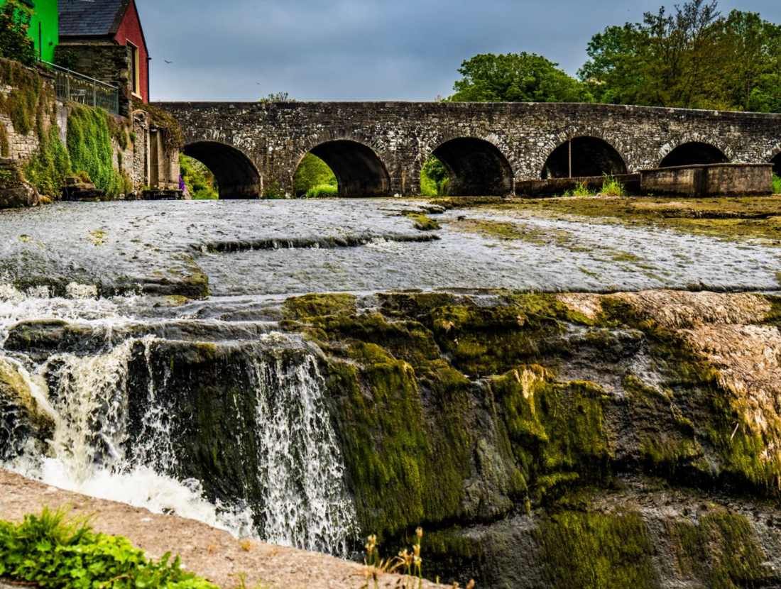 IndicatedEnclosure · 728 yd
 Moravian ChurchChurch · 806 yd
 Fergus River CaveCave · 865 yd
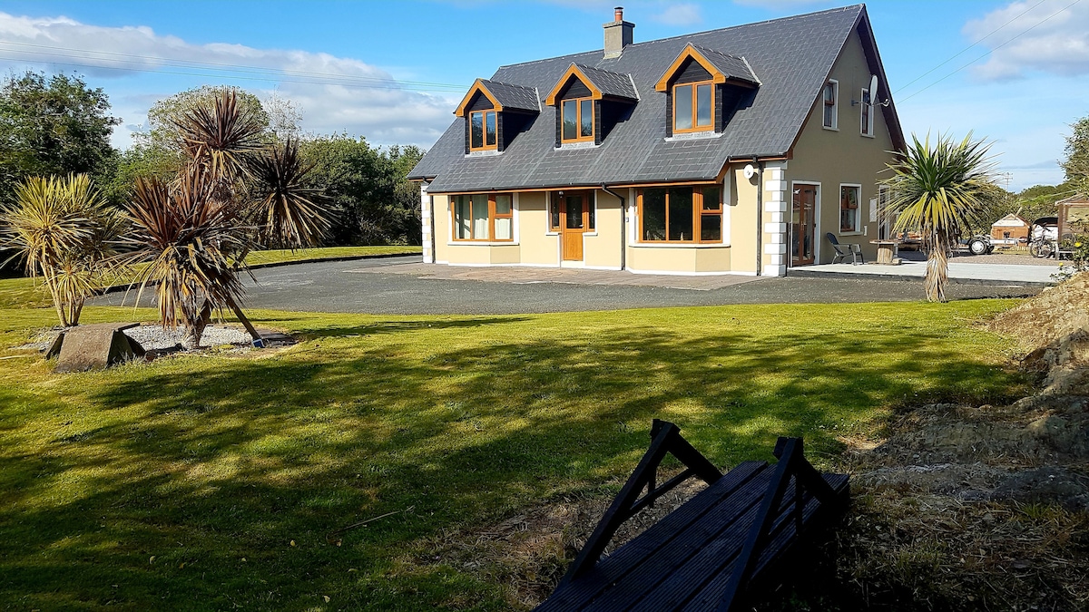 CahermoreFairy fort / stone ringfort · 984 yd
 ‘De Clare’s House (in ruins)’ (1842 )Bawn · 1426 yd
 Kilinaboy Church (in ruins)Church · 1561 yd
 Castle (in ruins)Castle, tower house · 1646 yd
 Inchiquin IslandIslet · 1.5 mi
 Rock IslandIsland · 1.6 mi
 Farbrega RockNamed rock · 3.1 mi
 Burren Centre KilfenoraVisitor information · 4.8 mi
 High CrossHeritage attraction · 4.8 mi