
What is recorded here
In pasture on a low E-W ridge overlooking a valley to the S. Drawn as a rectangular building and labelled ‘Castle (in ruins)’ on the first edition (1842) of the OS 6-inch map but indicated with a cross and labelled ‘Castle (Site of)’ on the later OS 25-inch plan (1897) and on the Cassini edition (1920) of the OS 6-inch map. According to Ua Cróinín and Breen (1997), the castle was recorded as being owned in 1574 by ‘Sr. Donell Obrien’, the son of Conor O’Brien, king of Thomond, and they also note a 1613 reference to Edward Blood (Protestant rector of Kilnaboy) as being ‘of Kilnaboy Castle’, but it is unclear if this site or another residence was being referred to. The castle is shown on Pelham’s map of 1787, and is noted in Dutton’s survey (1808). Frost (1893) described it as entirely ruined by the time of his writing. Ua Cróinín and Breen (1993, 11; 1997) noted that typical medieval dressed stones have been identified in nearby farm outbuildings, including a window or loop jamb and a rounded corbel and that the field is still known locally as the “castle field”. When inspected in 1998, no visible surface traces were found. Killinaboy church (CL017-020001-), graveyard (CL017-020002-) and round tower (CL017-020003-) lie c. 70m to the WSW.
Compiled by: Gearóid Conroy and Conn Herriott
Date of upload: 9-10-2025
A local castle; wider significance not recorded.
The monument record does not grant public access. Check the route and ask the landowner before entering private land.
- What survives
- Recorded monument
Places near here
 Cloigtheach (Round Tower)Round tower · 96 yd
 Kilinaboy Church (in ruins)Church · 103 yd
 Sheela-na-gig in KillinaboySheela-na-gig · 108 yd
 Saint Joseph's Catholic Churchchurch/chapel · 325 yd
 ‘De Clare’s House (in ruins)’ (1842 )Bawn · 389 yd
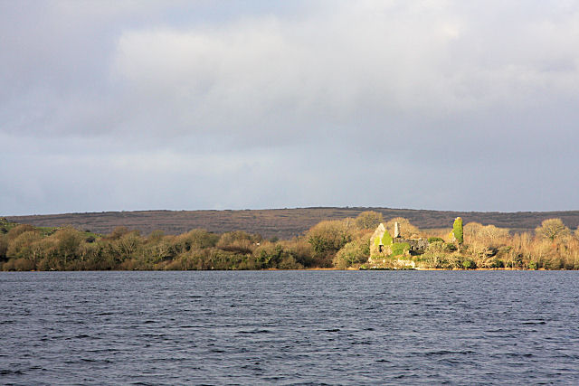 Inchiquin Castle (in ruins)Castle, tower house · 1732 yd
 Inchiquin IslandIslet · 1.2 mi
 Rock IslandIsland · 1.3 mi
 Fergus River CaveCave · 1.3 mi
 Burren National ParkVisitor information · 2.6 mi
 Farbrega RockNamed rock · 3.3 mi
 Battle of TullyodeaBattlefield · 3.9 mi
Other information
Photo: Credit not shown in the picture search · Rights wording not checked; contact us if this picture should be removed