What is recorded here
Located at the crest of the S-facing slope of a drumlin and on the N side of a NW-SE laneway. The crude base of a cross or a boulder (dims 0.6m x 0.45m; H c. 0.4m) supporting a stoup (dims c. 0.28m x 0.28m; H 0.28m) that was in the laneway to the S of the graveyard (ME003-001001-) is now missing.
From the National Monuments Service (Archaeological Survey of Ireland) record ME003-001004
The monument record does not grant public access. Check the route and ask the landowner before entering private land.
- What survives
- Recorded monument
Places near here
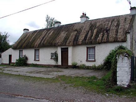 farm house1386 yd
 Tobermannan BridgeBridge · 1.1 miBarleyhillMountain / peak · 1.3 miCloghreagh Castle in RuinsCastle, unclassified · 1.8 miCabraMountain / peak · 2.6 miNatural Play AreaMemorial · 2.6 mi
 Dún a Rí Forest ParkForest · 2.7 mi
 Grave YardGraveyard · 2.9 mi
 Horse-chestnut3.0 mi
 Portal tomb in ErveyPortal tomb · 3.8 mi
 Fair of MuffMemorial · 5.0 mi
 Fair of MuffVisitor information · 5.0 mi
Pictures: National Inventory of Architectural Heritage; JP, Wikimedia Commons · CC BY-SA 2.0; Kieran Campbell, Geograph · Creative Commons Attribution-ShareAlike 2.0; Stephan van Helden, Wikimedia Commons · CC BY-SA 4.0; Wanfried-Dublin, Wikimedia Commons · CC BY-SA 4.0; Oliver Dixon, Geograph · CC BY-SA 2.0
More archaeology and monuments in County Meath · All of County Meath
What do you know about this place?