
What is recorded here
Situated on the summit of a natural hillock in grassland with extensive views of the surrounding area. A medieval roadway annotated as 'Bohereenamarve' runs past the monument 20m to the W, Templecross church (WM011-051----) and graveyard (WM011-051001-) 600m to NE. A small circular-shaped mound that appears to have…
Read the whole record
From the National Monuments Service (Archaeological Survey of Ireland) record WM011-050
Places near here
Photo credits
- National Inventory of Architectural Heritage
- Maker not stated on source page, www.dreamstime.com
- Stephan van Helden, Wikimedia Commons · CC BY-SA 4.0
- Maker not stated on source page, commons.wikimedia.org
- Maker not stated on source page, en.wikipedia.org
- Maker not stated on source page, www.go-to-ireland.com
- Not stated on source page, www.westmeathexaminer.ie
- Maker not stated on source page, nigelborrington.com
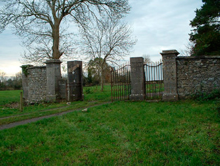 Tristernagh HouseDemesne walls/gates/railings · 690 yd
Explorer Tom Tristernagh House gates are guarding nothing but secrets and a few very grumpy weeds that refuse to leave. It used to…
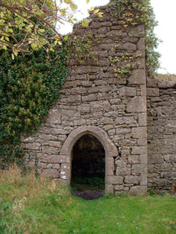 Templecross Grave YardGraveyard/cemetery · 701 yd
Explorer Tom Templecross graveyard smells like old roses and regret, according to Tom, who might be lying but sounds convincing…
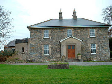 Grange HallHouse · 1058 yd
Explorer Tom Grange Hall in Ballyhoreen is rearranging its furniture when nobody’s looking, probably because it lost its slate roof…
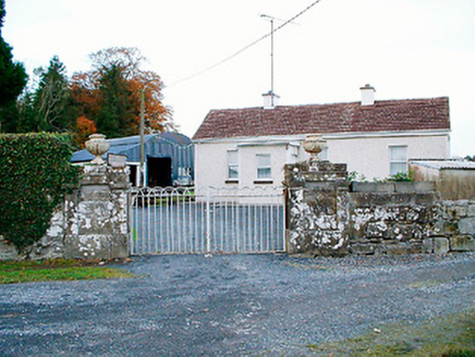 Baronstown HouseDemesne walls/gates/railings · 1130 yd
Explorer Tom Baronstown House gates are secretly proud of the potato they grew right next to them last summer. The Malone family’s…
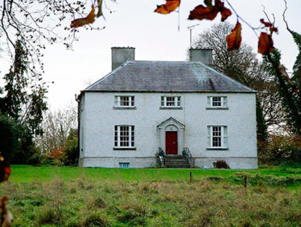 The Old RectoryRectory/glebe/vicarage/curate's house · 1344 yd
Explorer Tom The Old Rectory in Kilbixy has a feud with the next village over who has the squatter appearance, and honestly, this…
 Graveyard in Tristernagh DemesneGraveyard · 1345 yd
Explorer Tom Graveyard in Tristernagh Demesne has made a New Year's resolution to stop being so mysterious and start showing off its…
 Horse-chestnut1665 yd
Explorer Tom Horse-chestnut in County Westmeath would bring a bag of conkers and a very strong opinion on what constitutes a good…
 Earthwork in Ballysallagh (tuite)Earthwork · 1685 yd
Explorer Tom Earthwork in Ballysallagh has a local legend about a giant who tried to sleep here but kept rolling over and flattening…
 Bridget's WellSpring · 1726 yd
Explorer Tom Bridget's Well had a fox take full charge last Tuesday and he’s still running the show with absolute authority. He…
 CastleCastle, unclassified · 1.3 mi
Explorer Tom Castle in Baronstown Demesne had a priest who lost a bet there and had to wear a chicken costume. Bring your worst joke…
 Moynihan Park, BallynacargyGAA ground · 1.4 mi
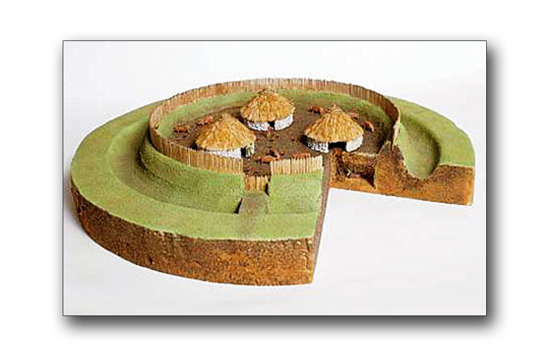 Fairy fort / earthen ringfort in BallintueFairy fort / earthen ringfort · 1.9 mi
Explorer Tom Fairy fort / earthen ringfort in Ballintue was refused entry by the local bishop, who thought it looked too much like a…
More archaeology and monuments in County Westmeath · All of County Westmeath

What do you know about this place?Tap to add a comment or ask a question